Posted on Leave a comment

Gulf Islands Adventure – Day 4 – Flat Top to Descanso

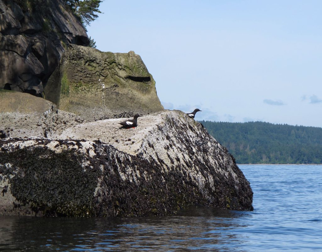
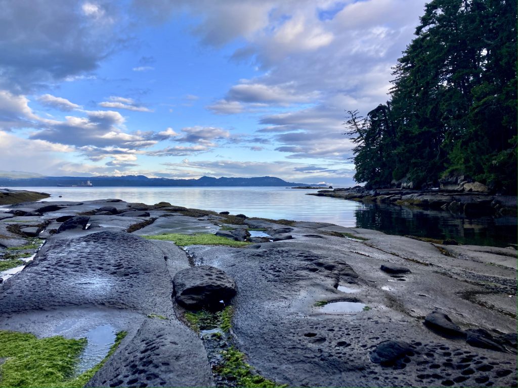
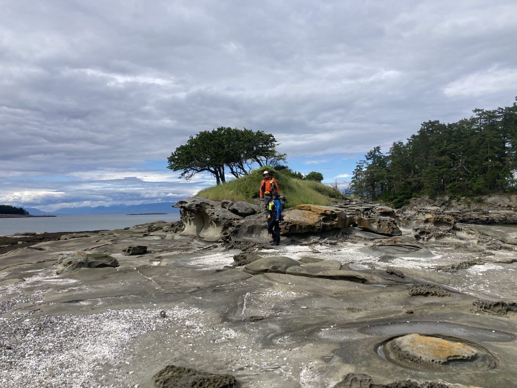
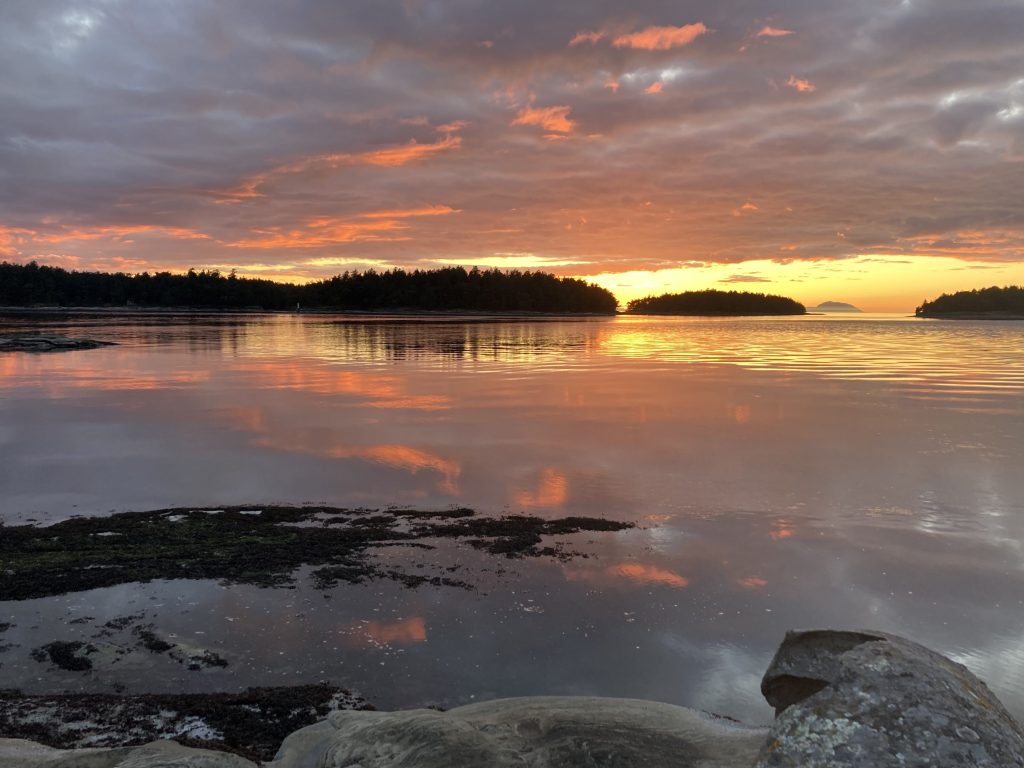
We said goodbye to the Crown Islets and worked our way through the other Flat Top Islands, heading northwest around Gabriola. This part of the trip hinged on good weather because we were out on the relatively-exposed Straight of Georgia. The weather held and it was bright and sunny for most of the day. There were more seals and sea lions that we saw near a lighthouse. I also tried to call Canadian Public Health and some company called “Purloator” about picking up my Covid test, but didn’t really learn much. I turned my phone to airplane mode for most of the day.

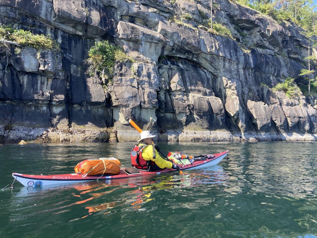
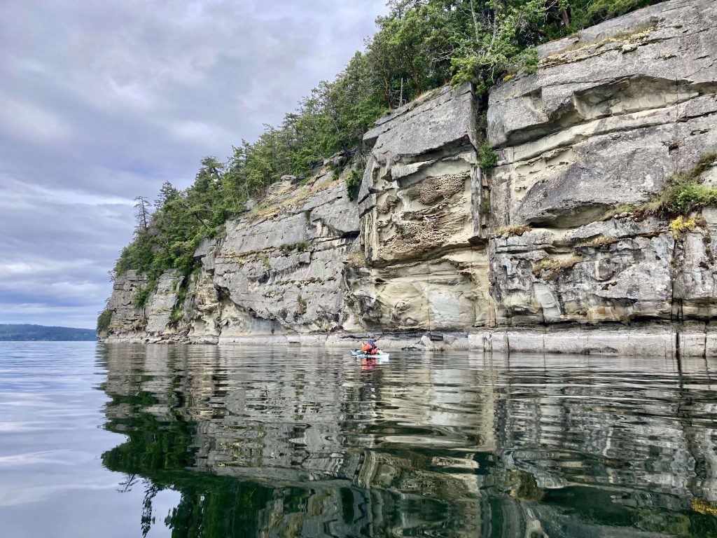
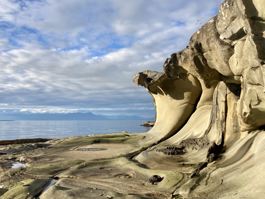
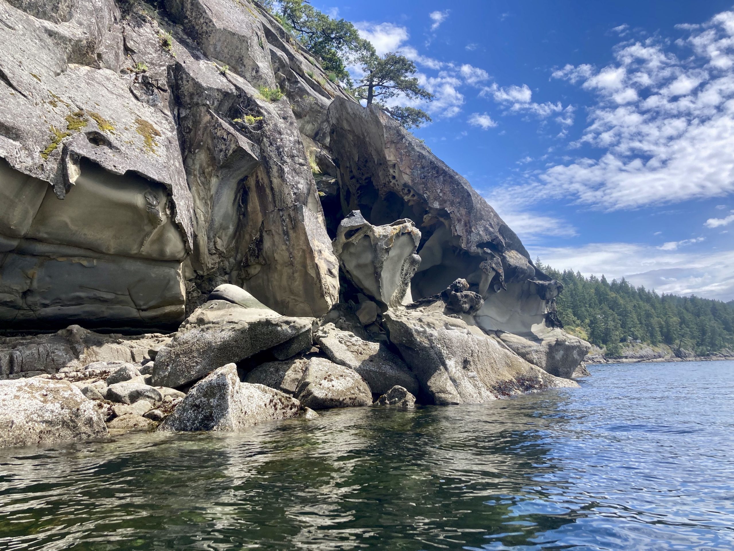
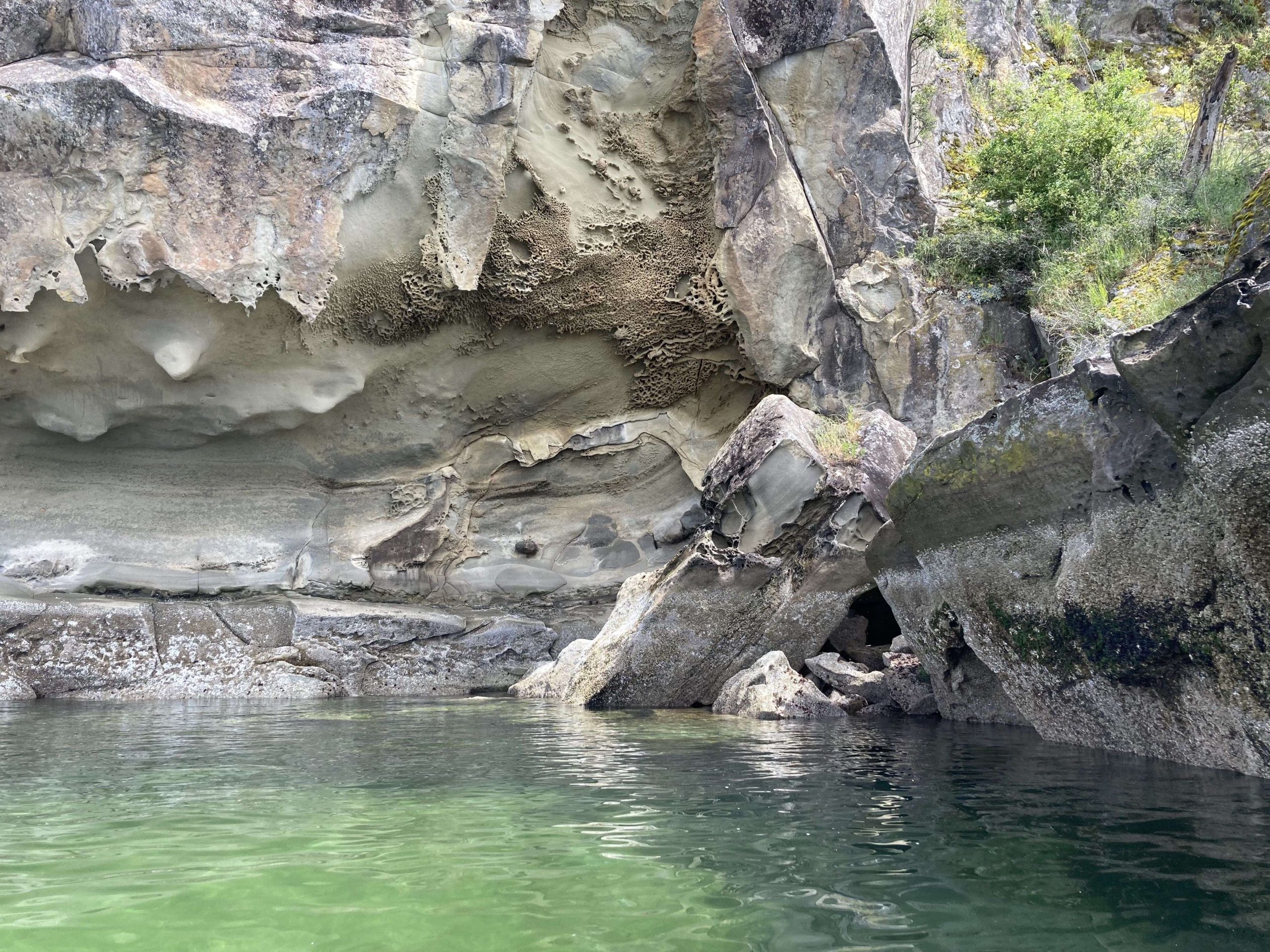
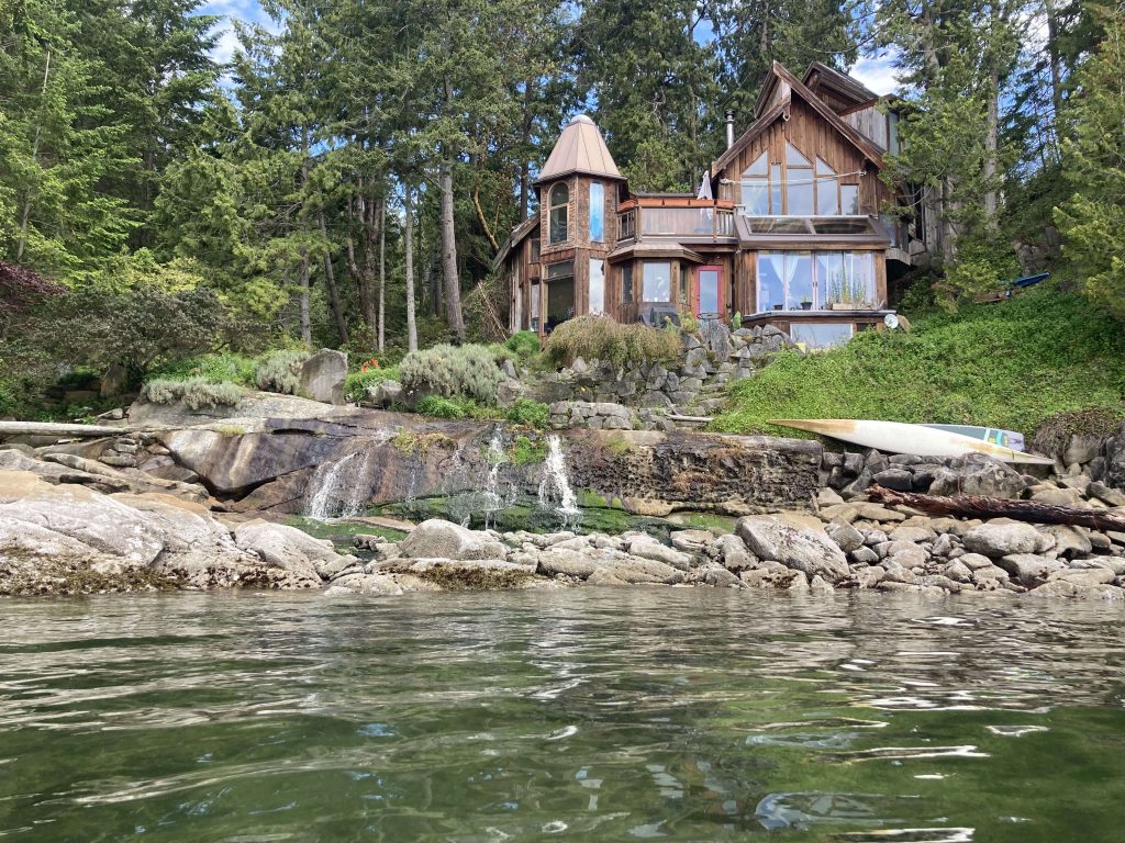
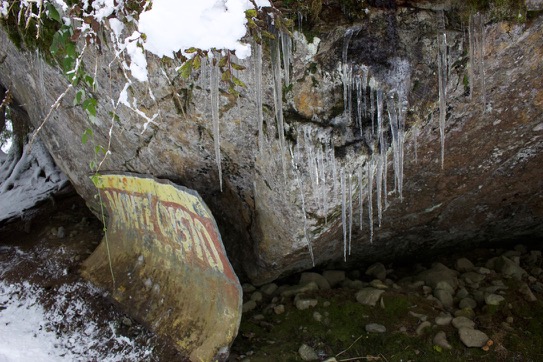
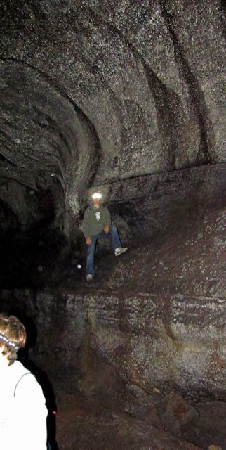
The cliffs here had dark staining that sometimes looked like faces to me.

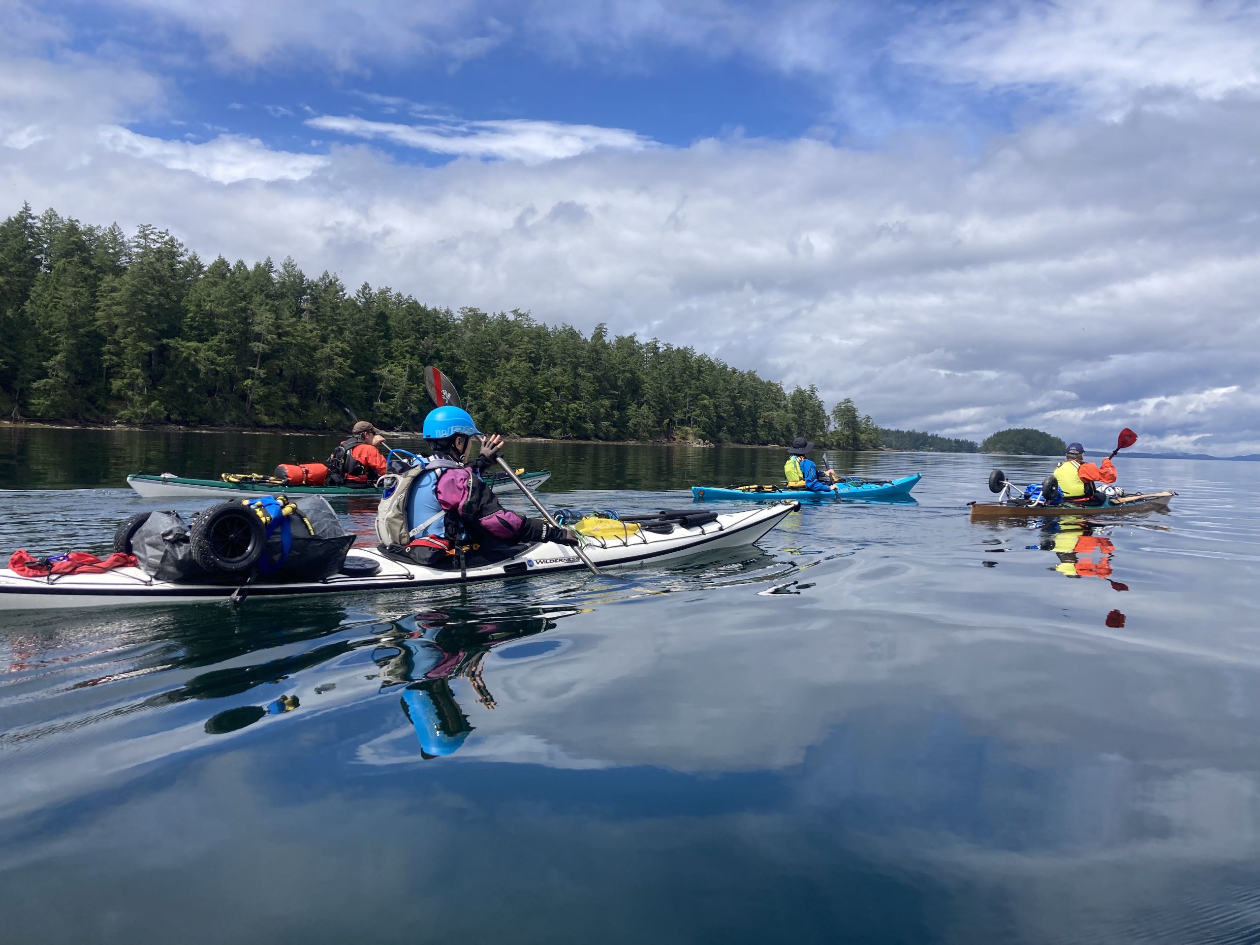
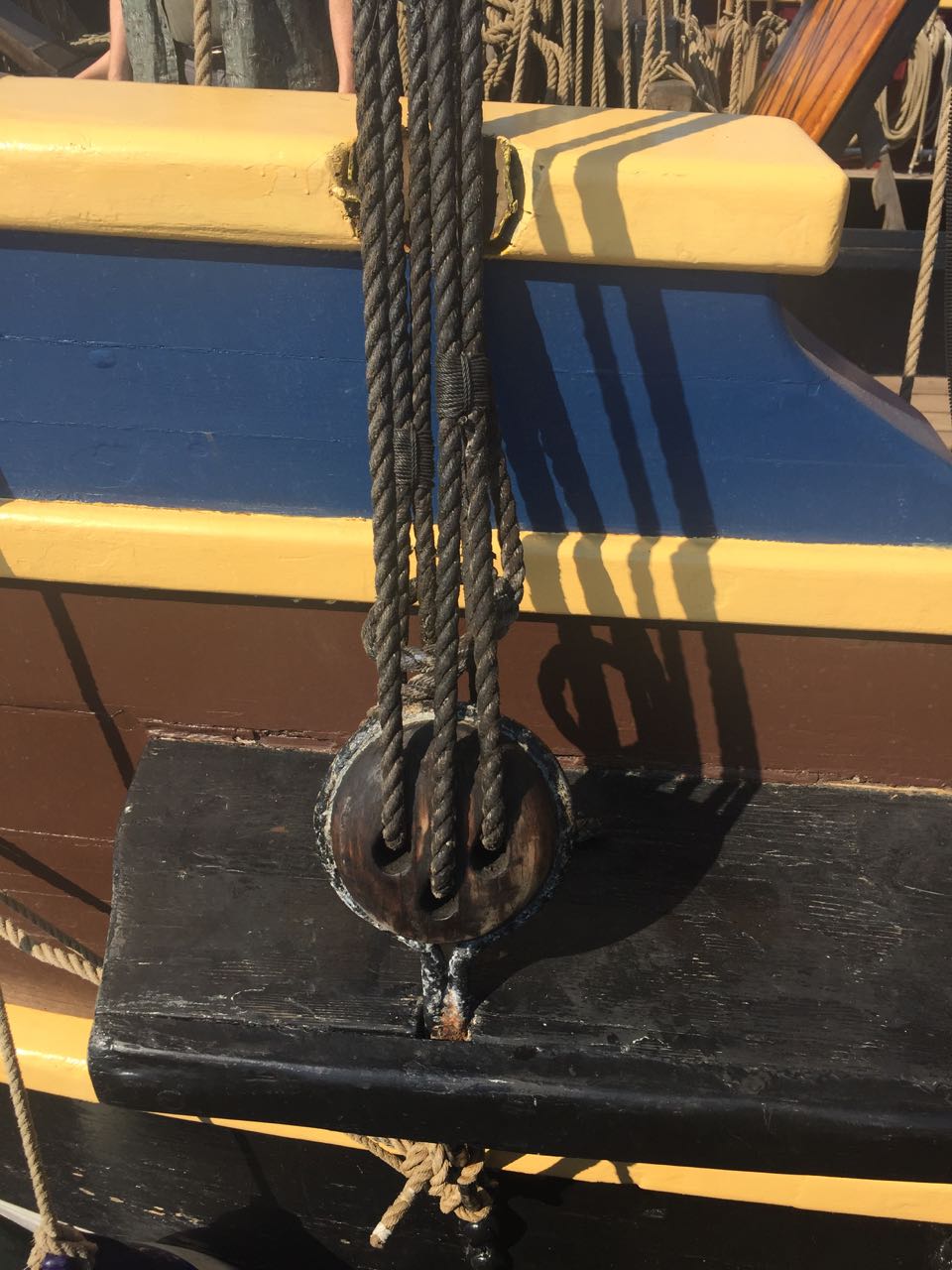
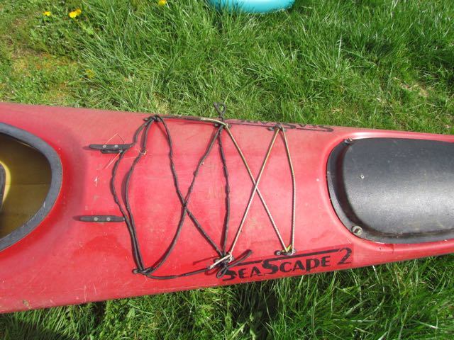
The main paddling challenge today was that Vincent’s boat seemed to be sinking. It had started earlier, but after he’d paddle for a little while, his boat would get lower and lower, and when we would stop we’d have to pump out the rear hatch.

Vincent H Paddling along Gabriola Island
passing waterfalls (photo by Paul M)

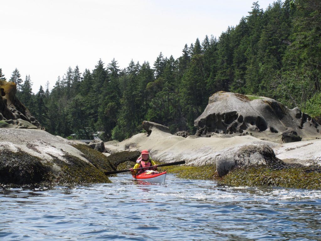
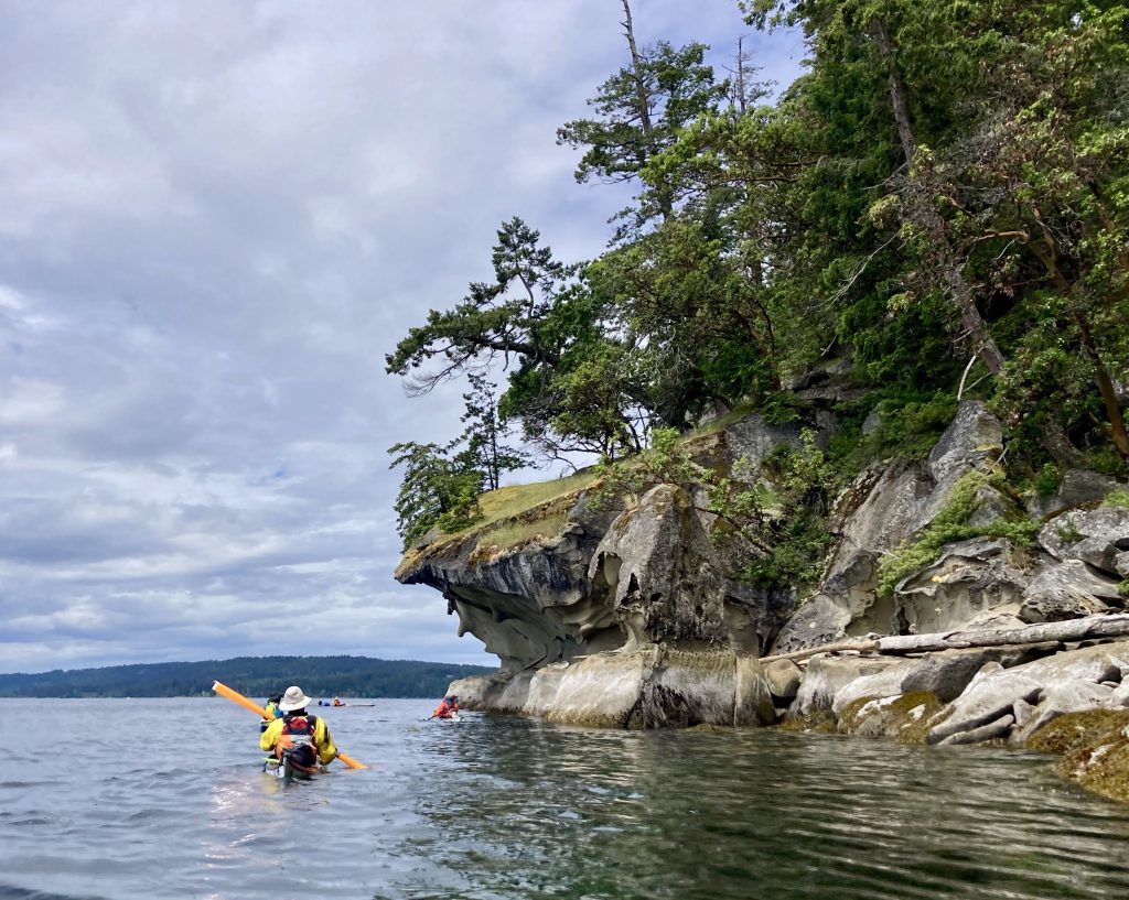
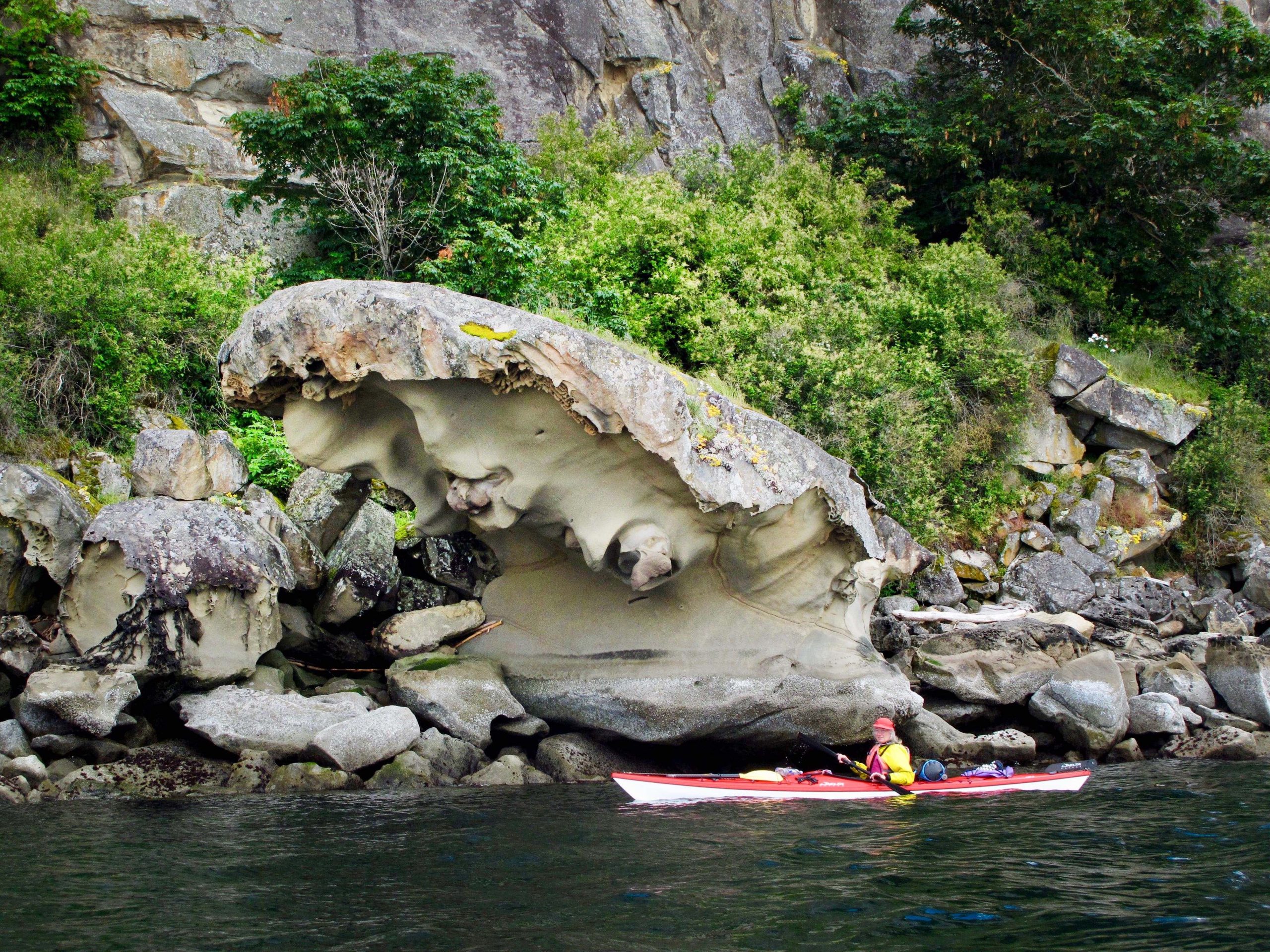
I backed into this slot around a corner so I could hide and surprise Alice and Diana when they came around, but some boat wake interrupted my cunning plan.

so sneaky
Guillemots (photo by Tom F)
Descanso Bay

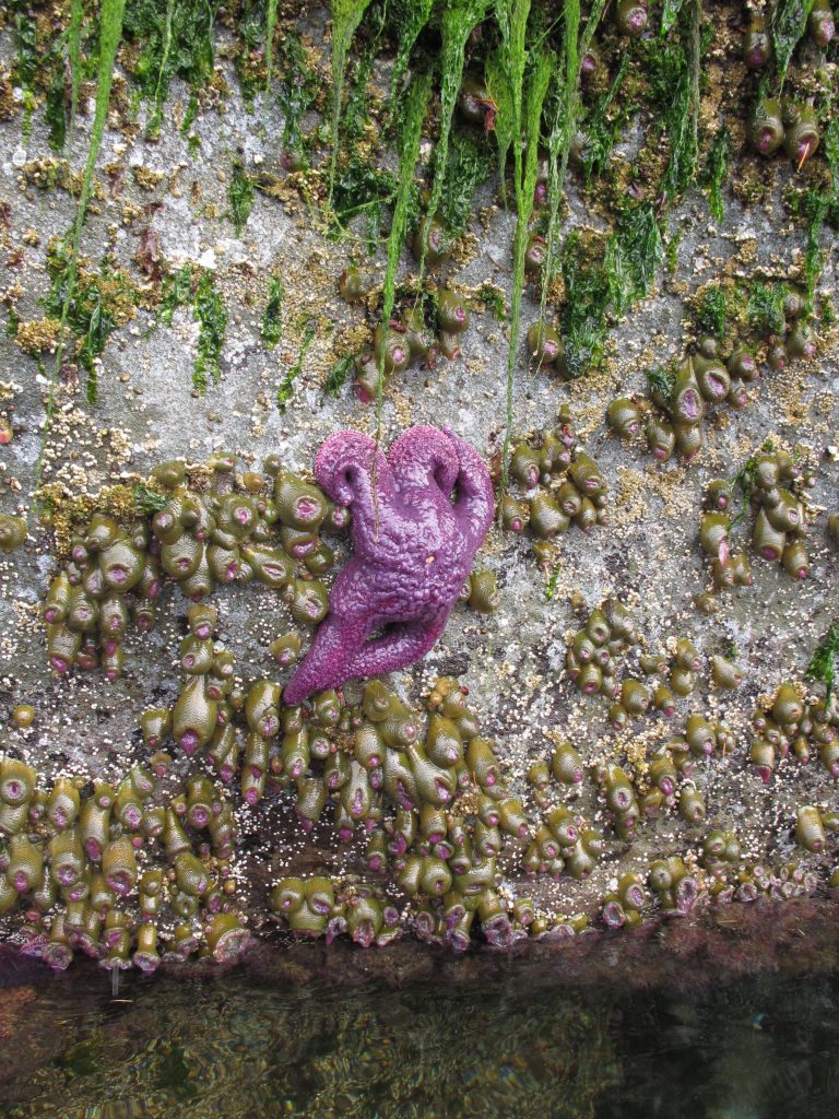
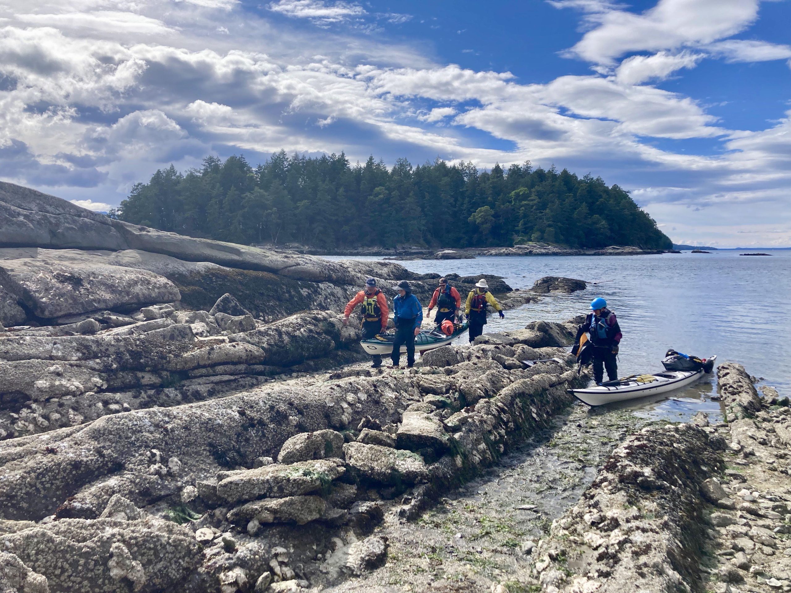
We reached our campground in Descanso Bay, across from Nanaimo, and, according to our original plan, this would be as far north as we would go. Am I hinting enough that things won’t go to plan? There were two potential beaches to land at. One with a nice beach but a bit of a carry to get to the campsites, and one right next to our campsites, that was full of sinking mud and broken, sharp, oyster shells. I noped out of the oyster-beach and was later joined by everyone else when the tide started to go out and threatened to leave everyone’s boat trapped in the mud. We saw otters here and a pileated woodpecker.

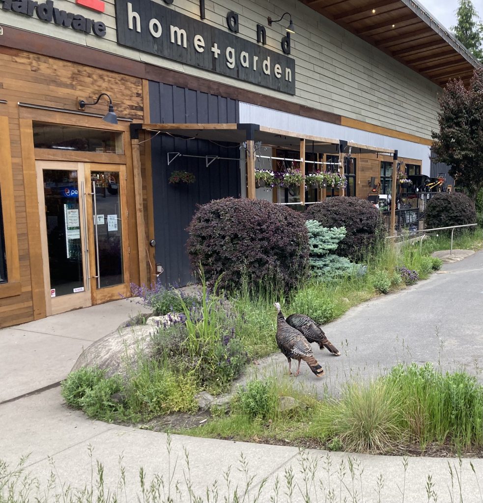
That evening we walked about a mile to town and went to a very fancy pizza restaurant & I bought a mojito because I’m fancy. These wild turkeys were standing in the parking lot when we got out.

Turkeys looking for some lumber
Posted on Leave a comment

Gulf Islands Adventure – Day 3 – Wallace to Flat Top

June 6th – we had some rain overnight but it was dry when we had to pack up. Today our timing mattered because we needed to go through Gabriola Pass near the slack. We were told, and I’ve since seen some video, that currents in the pass can get up to 8 knots and we didn’t want to deal with that in our fully-loaded boats, many of which had gear or wheels strapped to the deck.

After packing and oatmeal for breakfast (I’ve decided that oatmeal is always a good breakfast – it’s quick, it’s warm, and I can put as much dried fruit in it as I want) we were on our way. We set out northwest past the Secretary Islands and along the west side of Reid before making a big crossing, diagonally, to Valdes. This area is full of tankers and container ships waiting for a slot to open at the port in Vancouver. They made me a little nervous as we are very small and they are huge, but they luckily never moved while we were there.

Our lunch spot was a bit north of Blackberry Point and we waited for a while, looking at a Gary Oak to make sure we were hitting the slack, and then we entered the pass. The sandstone cliffs along Valdes were impressive, and we saw many sea stars – which I found encouraging because they had suffered a big die off a few years back.

Sandstone cliffs making us look small
Sandstone formations on Valdes
Purple Sea Star (photo by Tom F)

The pass turned out to be … nothing impressive. We even wondered if it really got as bad as they say, but we took a few minutes to explore the marina and then paddled through, looking for our mysterious islet in the Flat Tops.

Most of the Flat Top Islands are privately owned and off limits, but there are two tiny islets that are open to camping, with NO services. When I first saw them I was highly skeptical that we could even fit 6 tents on them – one was basically a grassy rock with one tree on it. The other didn’t even have a tree. But we did, and once we were settled in I was so glad we had stayed there. It was magical.

We saw many seals and one sea lion as we pulled in.

are we really going to put 6 tents on THAT?
Alice’s method of letting the tide lift the boats to us (photo by Alice V)
The Magic Happens
Sunset from the Flat Top Islands
Posted on 1 Comment

Gulf Islands Adventure – Day 2 – Montague to Wallace

June 5th we packed up at Montague and prepared for a 10 mile paddle along Galiano Island and across to Wallace Island. This is where we got our first look at some of the impressive sandstone sculpture that we would follow for most of the trip, and also, I think, where we first met some of the seals that would keep an eye on us for the rest of the trip.

My camera / phone has no zoom capabilities, so it was hard to capture animals and birds, and I don’t now recall where we first saw them, but we saw many seals, otters, some feral mink and a variety of birds, including eagles, vultures and guillemots. The weather remained good for our paddle, cloudy at times but no rain during the day. The Sandstone had an interesting variety of textures including something that looked a lot like honeycomb. I’m curious as to how that may have formed.

We passed this house that I think might be Rivendell. I didn’t get a photo of the shed next to it, but it had a very hobbit-hole look to it.

Seems like this house should be in the Lord of the Rings
Carrying the boats up at Wallace

We arrived at Wallace Island around 4pm and I had to think about my scheduled Covid test. We had a few bars of service, it was better up on the cliff, so I set up my tent, prepped my test kit in it, and went up to wait for my call in time. The video worked and we weren’t cut off. I was able to take the test and finally talk to a human who agreed I might have a hard time turning in the test, but couldn’t do more than make a note in my file. I didn’t get the kind of reassurance I was looking for that Canada wasn’t going to mad at me and the best she could offer was the number for Public Health Canada, and the lab’s help line (the one I spent 40 minutes on hold for already). This may surprise you, but it’s challenging to keep your phone charged out there. My last call to their help line burned through 20% of my phone battery and I didn’t have enough to try again now. Time to go for a walk and watch the sunset.

Small cove on Wallace Island
Sunset from Wallace Island
Posted on 2 Comments

Monte Cristo Ghost Town

We were looking for a hike that avoided the snow up the in mountains, so in that sense, this was a failure. There was a good 6 inches of snow at the trailhead up to about a foot at the town site, but the hike was mostly flat and we were able to walk in the footsteps of the few people who went up ahead of us. It was a beautiful day, a pleasant drive, and well worth the trek.

Posted on Leave a comment

Fall colors

The Pacific Northwest doesn’t get the fall fireworks show that the East can get, but we do mountains much better and also, there are larches. I had never seen them before, but these are deciduous conifers and if you time it right, you can see them in full, bright yellow color up in the mountains.
These are all from Cutthroat and Maple Pass in the North Cascades. The yellow trees are larches, the bright red bushes are huckleberries and the haze is the remnant of wildfire smoke.

Posted on Leave a comment

Tall Ships

If anyone is going to be in Kirkland, WA this week, the tall ships, the Lady Washington, and the Hawaiian Chieftain are there.  Tours are $5, sailing trips and battle sail trips are also available.  My daughter is on the crew so we popped down on their day off to deliver a care package and provide a dog for the crew to pet.

The Lady Washington is a period reproduction and has appeared in many movies, most notably, she is “the Interceptor” from Pirates of the Caribbean.

Posted on Leave a comment

Lava

I’ve been following the eruption of Kilauea while at the same time, planning our fall camping trip to Mount St Helens.  I knew from previous trips about the difference between a’a and pahoehoe but the recent footage has given some really great visual examples of it in action, rather than the cold and plant-covered versions I’ve seen locally.

Here’s a video that shows the difference.

On the way back from the Ape Cave we saw a big pile of clinkers. This time, knowing what it is, I’ll be sure to take more pictures.

2,000 years ago, a smooth basalt flow ran through a forest on the south side of Mt St Helens. It smothered the trees which then burned or rotted away, leaving behind casts in the stone.  It is now covered by another forest.

This was once the trunk and root of a tree.

A new tree grows where the old one stood.

Before I knew how these were formed, the perfectly round holes were baffling.

Lave covered this fallen log, leaving the impression of its bark. This one is large enough to crawl through.

Pahoehoe flows sometimes form lava tubes when the outsides cool, but the molten center continues to drain away.  There are many on the south of St Helens. Ape Cave is one, and it is over a mile long.

A small lava tube

A large lava tube. (Ape Cave)

Posted on Leave a comment

Random musings and even more soap

I’ve been doing all sorts of exciting outdoor adventures, but I haven’t brought the camera so, alas, I cannot share.

I got my kayak out to a new lake and did a 6 mile loop at a leisurely pace (and got a sunburn because of that classic reason: it was cloudy out).  And for my birthday I got some kayak toys – hully rollers to put the kayak on top of the car (which I can now do by myself!) and this cool deck compass.  It’s probably overkill, but I have ideas about leading some short expeditions between islands and it seems like a good thing to have for that.  Right now I’m just playing with it.

My youngest daughter has been afraid to ride her bicycle ever since she fell onto the bar hard a year ago. In the last week, she went with her dad to a bicycle repair shop, where, apparently, they worked some sort of magic by showing her how bicycles work and letting her ‘repair’ one.  She is now super enthusiastic about riding. She still will only try to ride her own, older bike, that’s too small for her, but she completed an 11 mile ride with the family WITHOUT COMPLAINING.

This warranted an ice cream reward and we’re going to plan more small and easy trips with fun things at the end to encourage more.

The mango-lassi soap cured out somewhat tan in the ‘white’ areas – apparently it contains some vanilla – but it still looks good and is ready to ship out.

And then yesterday I made a new soap “Man Candy”!  The scent is actually called “Blue Sugar” and is described as “masculine cotton candy” but that was too much for my friends to remember and so it is now Man Candy.  I did another in-the-pot swirl and I really like the way it turned out.

And I cleared some space in the chaos that is my garage – so now I can mostly walk through it.  That’s progress.

Posted on Leave a comment

Whidbey Island

Whenever we have guests from out of town and I’m looking for a day trip, this is one of my favorites.  We start by driving up to Deception Pass and walk out over the bridge to Pass Island.

View from about mid-span.

The current through the narrow channel can reach 8 knots at peak flow. I’ve been kayaking near there before but never through the pass itself.  This time there was a series of standing waves west of the bridge and high winds, which made crossing a white-knuckle experience.  I was afraid to look through the viewfinder, so this picture was taking by just pointing the camera in a direction and hoping it caught something good.

From the bridge we headed downhill into the park for a walk along the beach and a look at the ancient (800+ year old) douglas fir.  We’ve heard this called the “Monkey Tree” but I have no idea where that name comes from (we did fill it with our own little monkeys).

Then it was on to the hike itself.

A different wind-contorted tree with ukulele player

Ebey’s Landing

Looking up the bluff

Then our final stop was Fort Casey where we flew kites and let the kids run around in the tunnels. For some reason I always forget to take photos at Fort Casey, but here’s my dog looking alert in front of the old battery.

From there we headed south to the ferry for a short hop back to the mainland.

The only thing that would make this trip better is if it could be done in reverse so you wound up by Snow Goose Produce for gigantic ice cream cones on the way home.

Posted on 2 Comments

Seascape Kayak – Quick Update

Using the right tools and some WD-40 I managed to get the rudder apart.  Here are the metal pieces that need to be straightened.

And here is the critical central plastic piece that holds the rudder to the boat and allows the blade to slide up and down.  It’s seen better days.  I’m going to see if my Maker friends can cut a new one or if we need to purchase it from the manufacturer.

I’m currently researching the deck cording to see if I can do better than $.50 per foot.