Posted on Leave a comment

Wonderland Trail – Day 2

Berkeley Camp to Yellowstone Cliffs

Just one overnight put us on a much less traveled part of the park. The farther we got from Sunrise the fewer other hikers we saw, and while we shared our camp with 2 other groups our first night, we would have Yellowstone Cliffs to ourselves. Our trip was going counterclockwise and most people do the route clockwise. This meant that we didn’t have the experience of traveling alongside a similarly-paced group for multiple days.

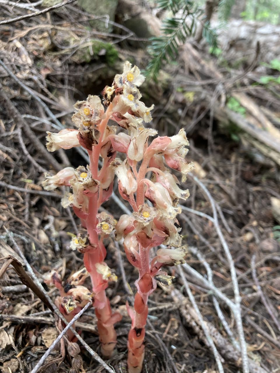
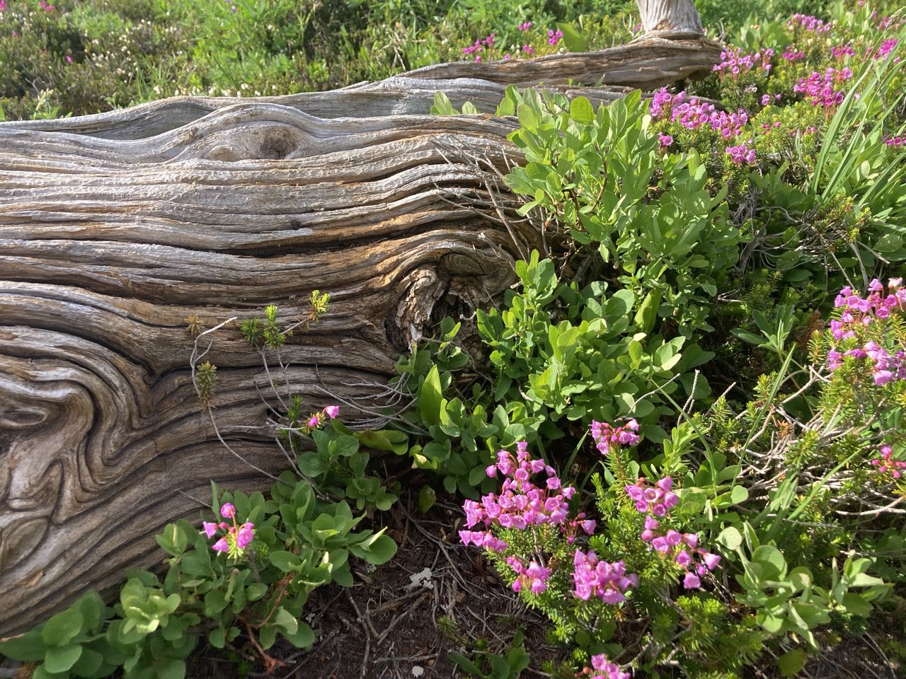
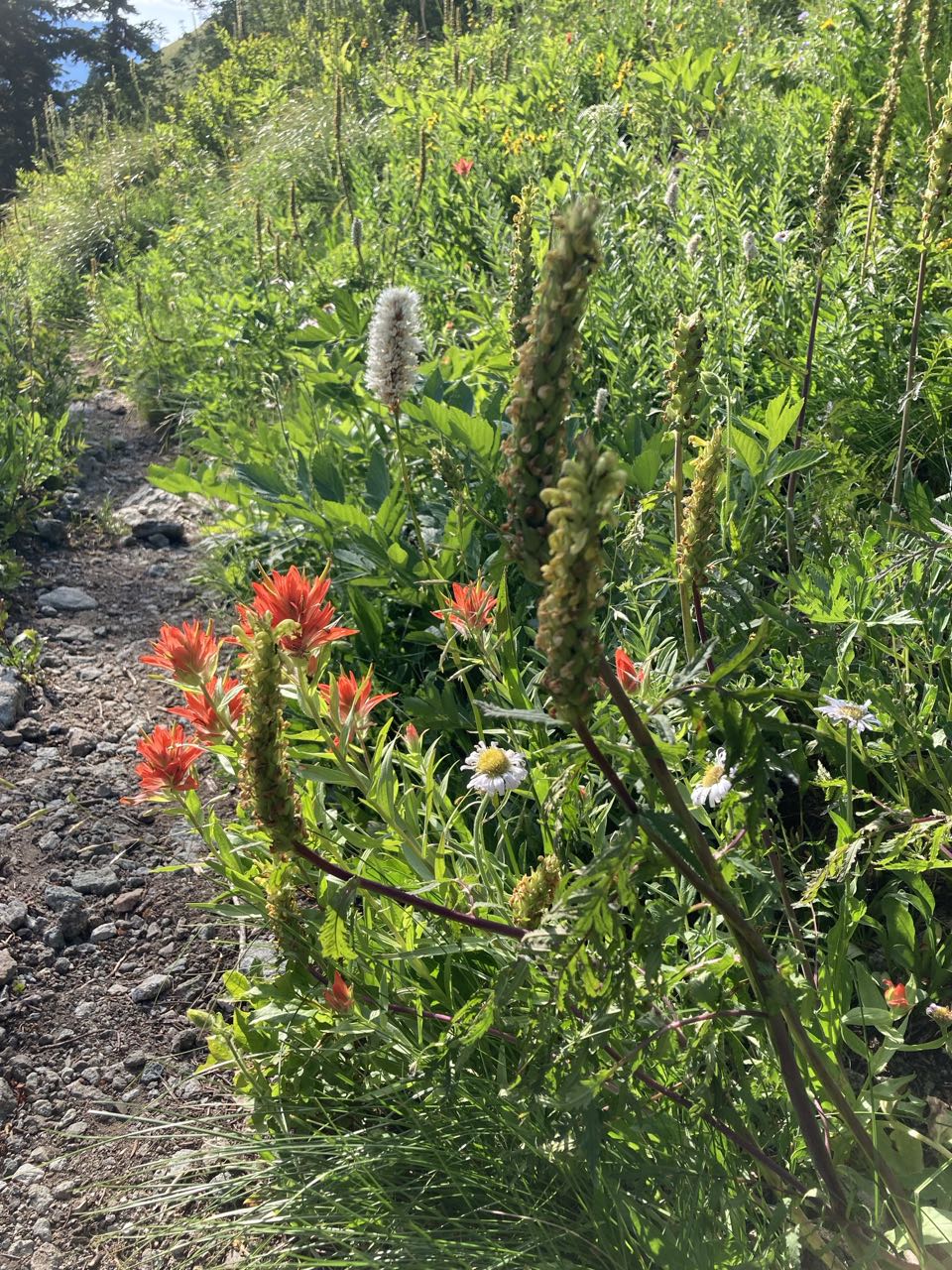
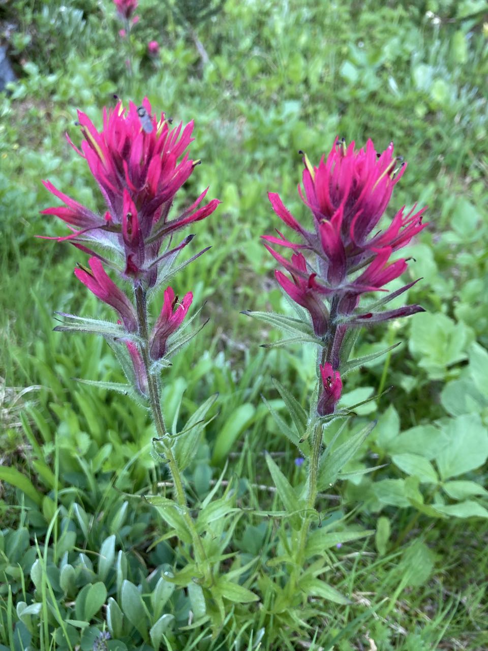
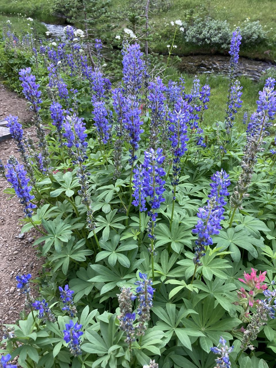
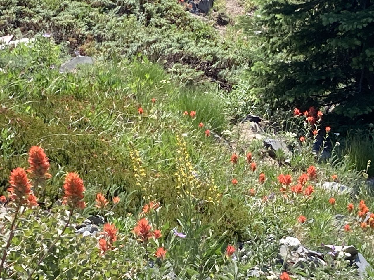
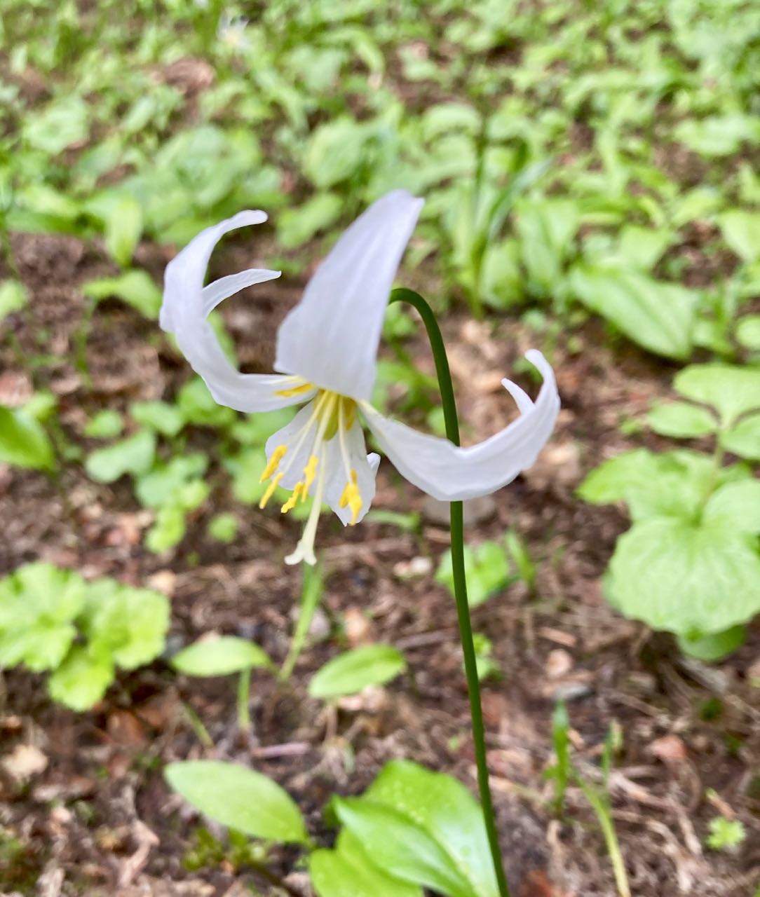
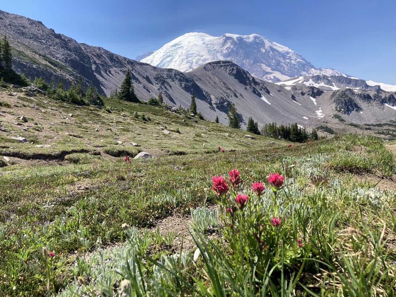
More wildflowers, including avalanche lilies which we did not see in other parts of the park. There were more tadpoles than I expected in some of these mountain pools, I suppose I thought it would be too cold for them, but where the water was shallow they were full of tadpoles.

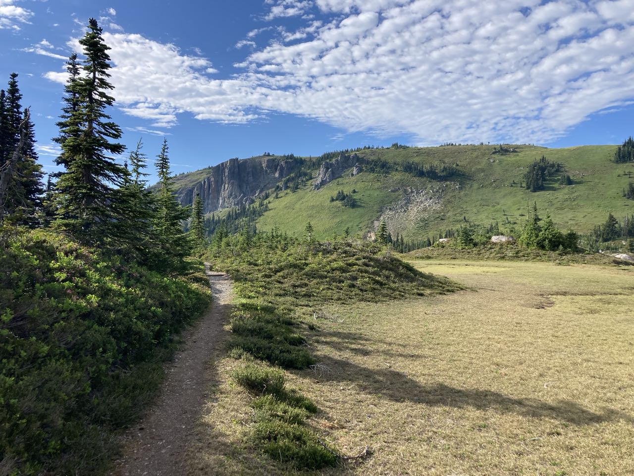
North of Berkeley Camp there was a huge open field with a trail that branched off to another destination (perhaps we will go back one day). This area reminded me of Valles Caldera in New Mexico.
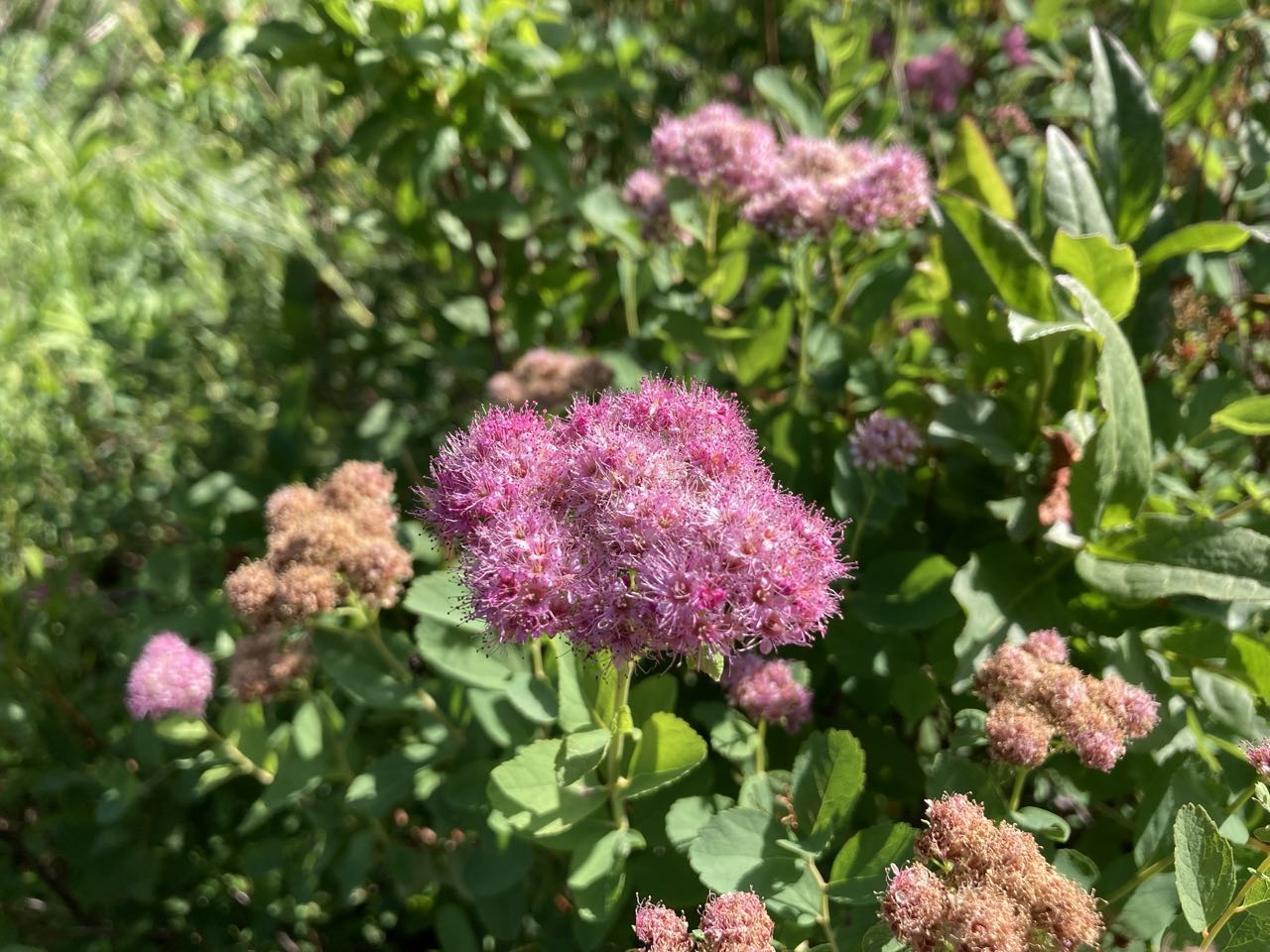
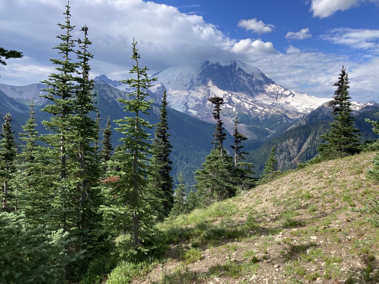
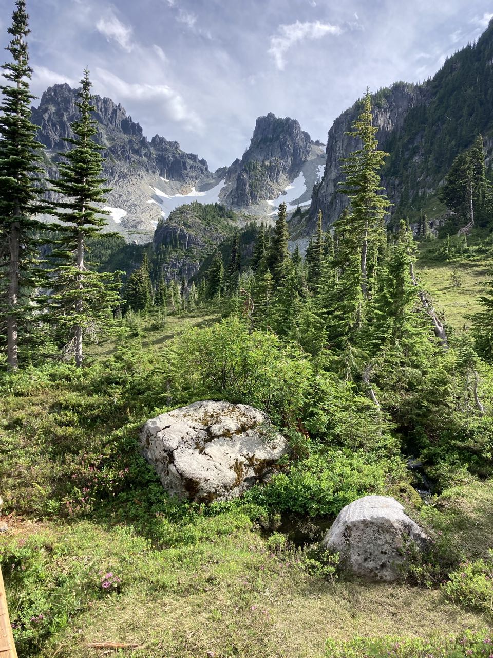
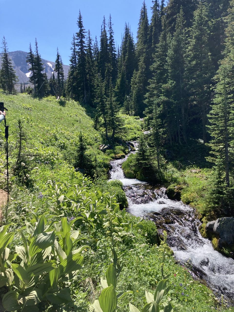
This area had a many tiny waterfalls and jagged peaks, even when we couldn’t see Rainier itself.
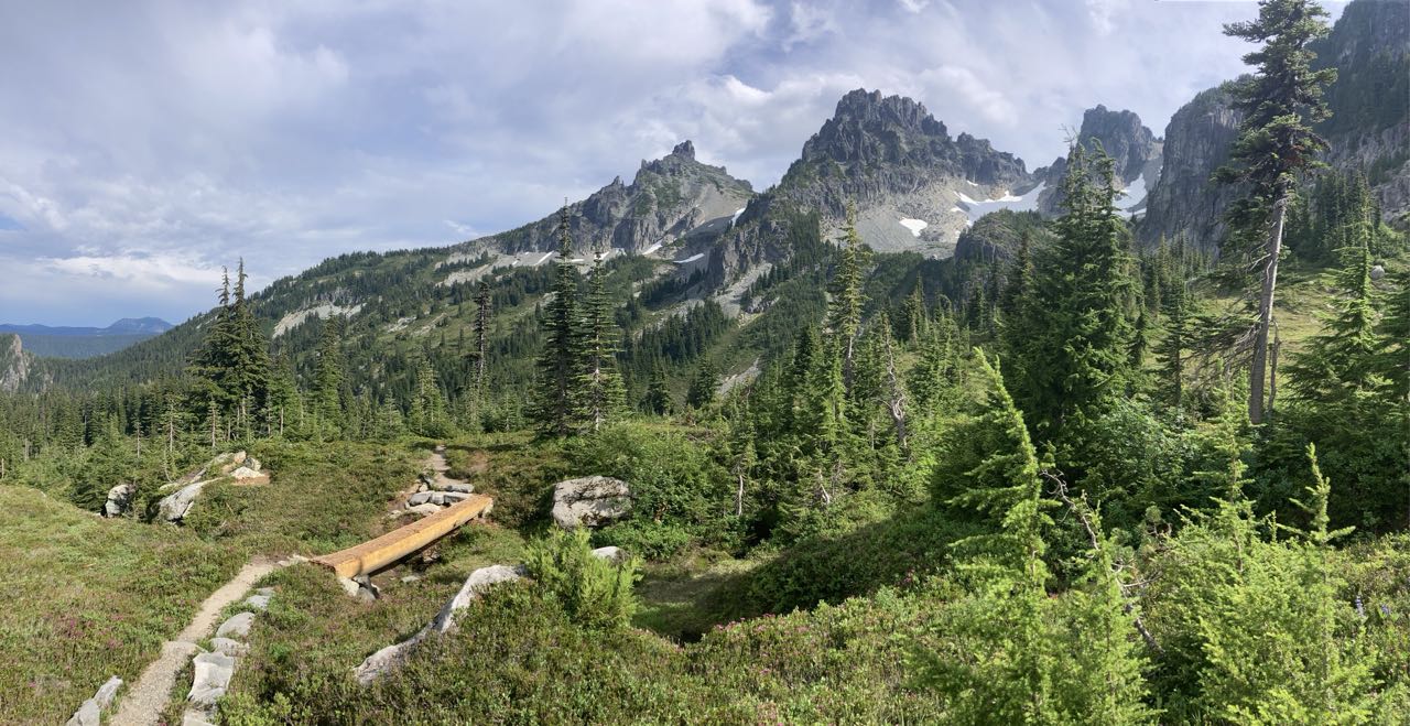
We got to this viewpoint and realized we had to climb ALL THE WAY down to that river, then all the way back up the mountain on the other side. Who booked this itinerary anyway? Oh yeah – that was me.
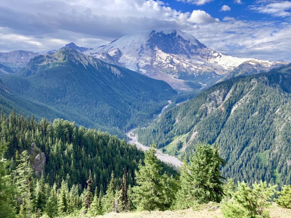
The Abyss – who planned this trip anyway?

We weren’t 100% alone at Yellowstone Cliffs. When we arrived there was a mama bear and her cub nosing around between the campsite and the pit toilet. We talked loudly to each other until she moved on. I didn’t get a photo of the baby, but I did get a pretty good one of mama.
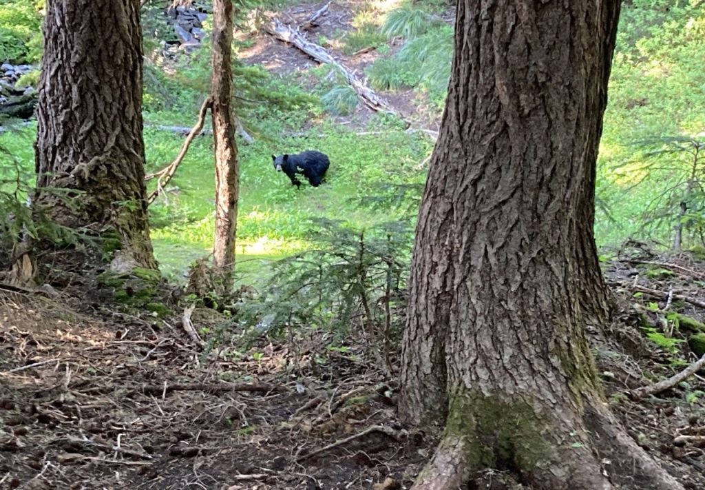
mama bear
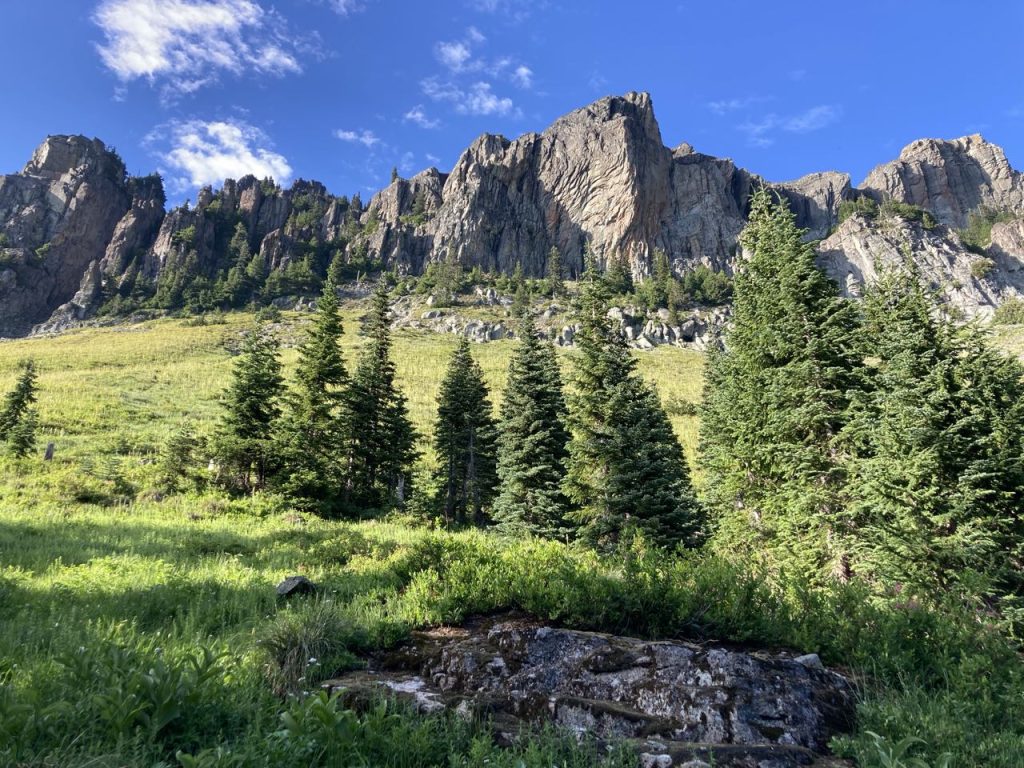
Yellowstone Cliffs from near the campsite

(edit) My notes from the trail:
Left Berkeley @7AM and hiked to Grand Park – reminded me of Valle Grande + why are there no trees here? 2nd Breakfast. Hiked down into the Abyss for elevenses. Note that I am Sam, S is Pippin, K is Frodo, R is Merry. We want to watch LoTR when we get back. Crossed a scary log before the bridge (also scary), then hiked uphill forever. 11+ miles and over 3k feet.
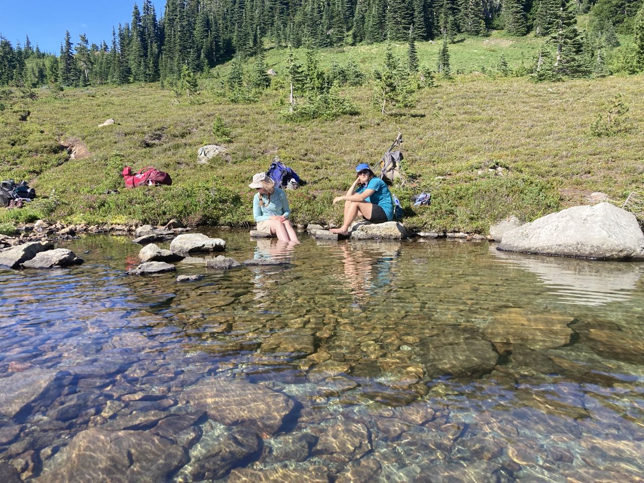
S thinks Little Tahoma looks like a moving castle that has remained still too long. At WIndy Gap – beautiful streams and a lake where we rested. Yellowstone cliffs are amazing. Bears and deer in campsite. Arrived 6pm. Tomorrow we Split The Party. Saw frogs, deer, bears, salamander.
Posted on Leave a comment

Wonderland Trail – Day 1

White River to Berkeley Camp Aug 8

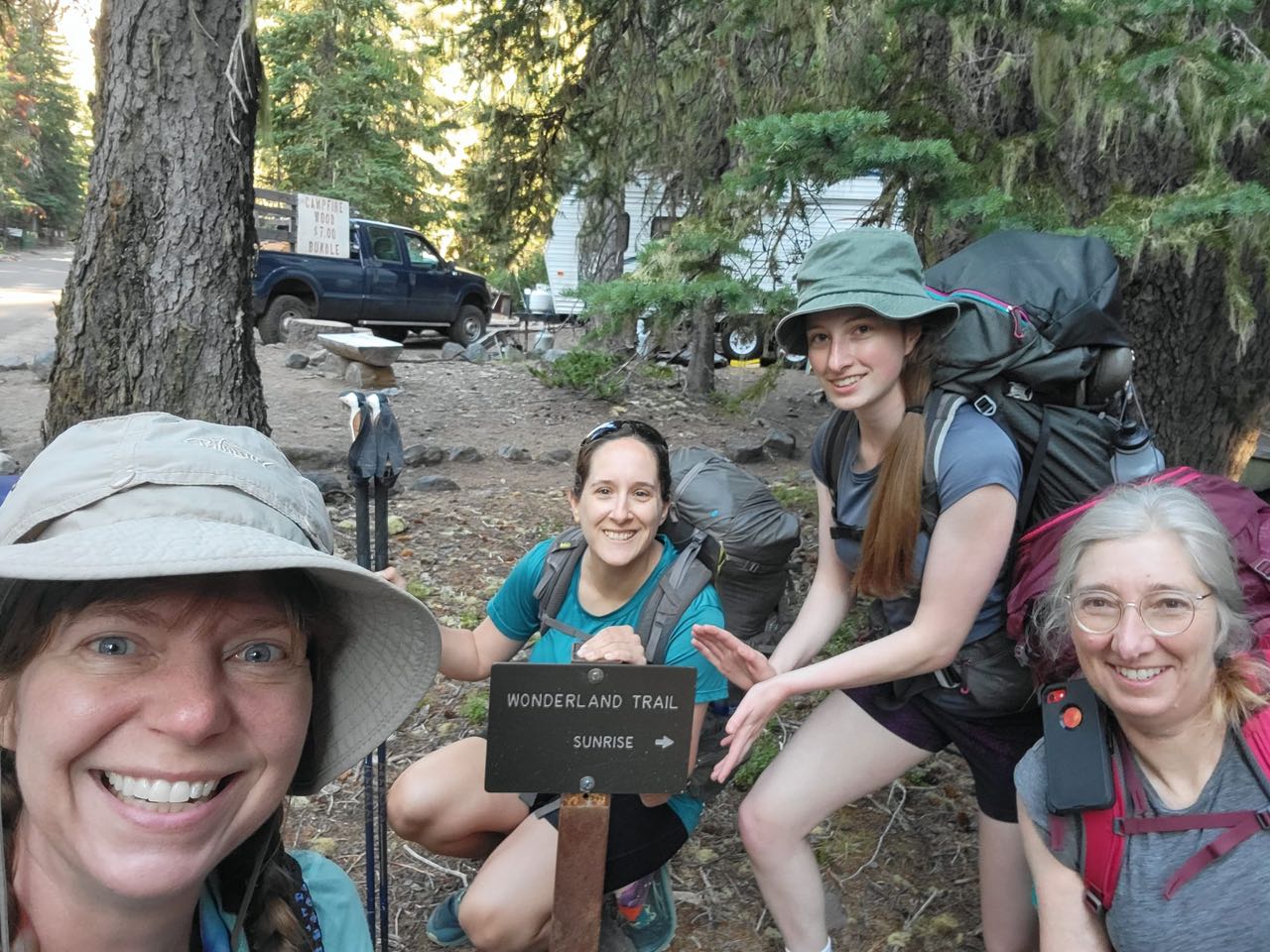
Back in August I had the chance to check something off my bucket list – I don’t really have a bucket list but this trek was definitely a goal. There are so many epic hikes in Washington and every year I apply for permits to at least a few with the understanding that most of them won’t pan out. This year I won a slot to book an early itinerary on the Wonderland Trail. For those who don’t know, the Wonderland is a 93 mile trail that circumnavigates Mount Rainier. It is not a climbing permit and I did not summit Rainier. Winning the lottery didn’t actually guarantee I could do the whole trail either, at the time I tried to sign up I was only able to book reservations for the ‘northern loop’ but I spoke with my 3 hiking partners and we decided that I would go down to the ranger station the day before and try to switch our permit to a whole loop. This was a bit of a gamble but it paid off! We were able to get all our desired sites plus our final days camp at the coveted “Summerland” campsite and complete the full loop. We spent that night at the drive-up campsite at White River and on the morning of August 8, set out on our journey. Our hiking group was me, my daughter S, a local friend K, and her good hiking buddy from out of state R. My daughter and I shared a tent but the other two each brought their own.

The day started off with a steep uphill from White River to Sunrise, followed by some rolling terrain along the Wonderland, then diverting north onto the “Northern Loop”. For those playing along at home – yes this means we wound up doing more than 93 miles of the regular Wonderland, we did the “super wonderland.” In the meadows below Sunrise we saw our first bear browsing around and minding his own business about 50 feet off the trail.

Bugs were bad at Berkeley. I’m still not sure if some locations were buggier than others, or if some days weather conditions promoted more bugs than others. There were so many wildflowers! I no longer have exact mileage for each day but most days were between 10 and 11 miles, with our shortest day being just under 8 and our longest day being about 12 miles with between 2000 to 3000 feet of elevation gain. This was a shorter day so we’d have an easier one when we set out.

(edit) My actual notes from the trail:
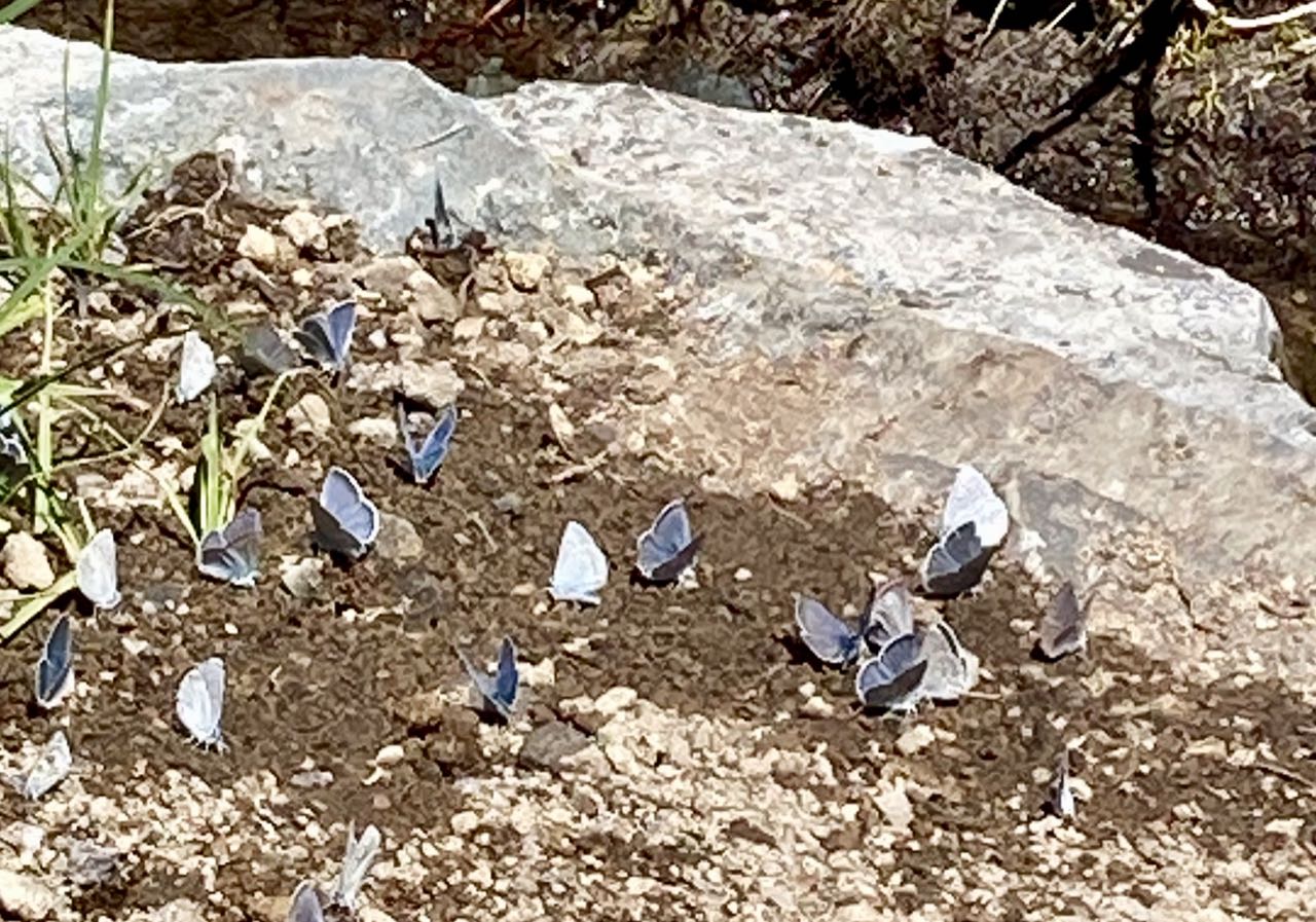
On the trail by 730AM. Up the big hill. Met 3 girls who recognized R from another long distance hike. 2nd Breakfast at Sunrise. Saw a Bear, ground squirrels, a frog, butterflies. Lots of mosquitos and flies. Reached Berkeley @2pm, So many Wildflowers. Passed a creek that went underground.

Posted on 2 Comments

Monte Cristo Ghost Town

We were looking for a hike that avoided the snow up the in mountains, so in that sense, this was a failure. There was a good 6 inches of snow at the trailhead up to about a foot at the town site, but the hike was mostly flat and we were able to walk in the footsteps of the few people who went up ahead of us. It was a beautiful day, a pleasant drive, and well worth the trek.

Posted on Leave a comment

Lava

I’ve been following the eruption of Kilauea while at the same time, planning our fall camping trip to Mount St Helens.  I knew from previous trips about the difference between a’a and pahoehoe but the recent footage has given some really great visual examples of it in action, rather than the cold and plant-covered versions I’ve seen locally.

Here’s a video that shows the difference.

On the way back from the Ape Cave we saw a big pile of clinkers. This time, knowing what it is, I’ll be sure to take more pictures.

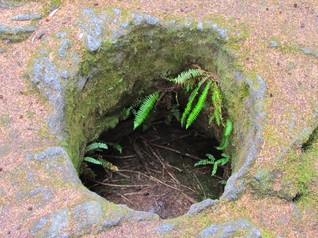
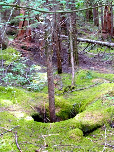
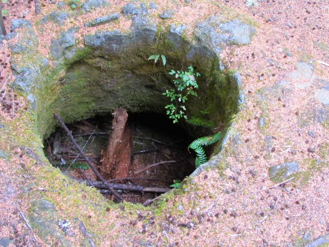
2,000 years ago, a smooth basalt flow ran through a forest on the south side of Mt St Helens. It smothered the trees which then burned or rotted away, leaving behind casts in the stone.  It is now covered by another forest.

This was once the trunk and root of a tree.

A new tree grows where the old one stood.

Before I knew how these were formed, the perfectly round holes were baffling.

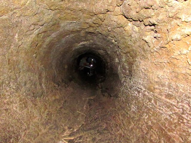
Lave covered this fallen log, leaving the impression of its bark. This one is large enough to crawl through.

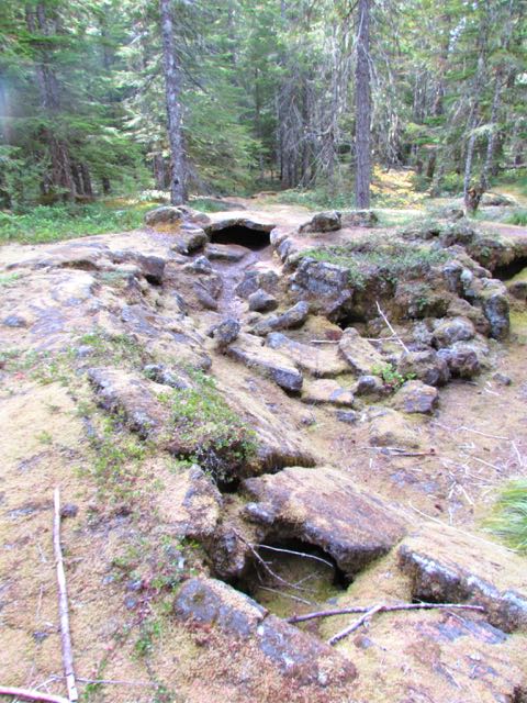
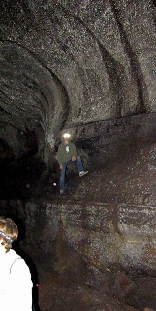
Pahoehoe flows sometimes form lava tubes when the outsides cool, but the molten center continues to drain away.  There are many on the south of St Helens. Ape Cave is one, and it is over a mile long.

A small lava tube

A large lava tube. (Ape Cave)

Posted on Leave a comment

Whidbey Island

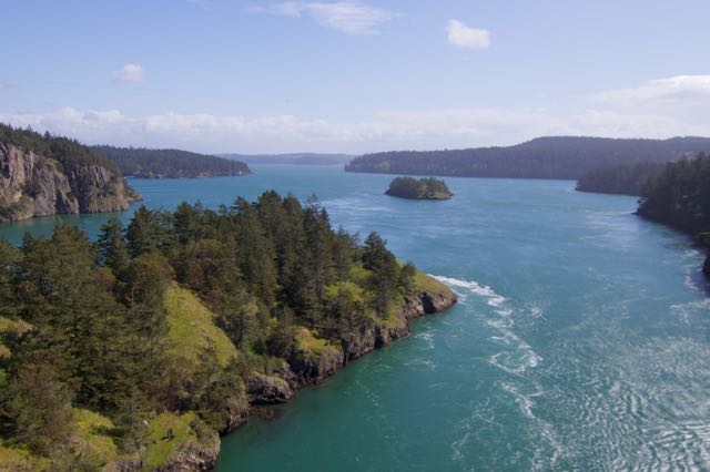
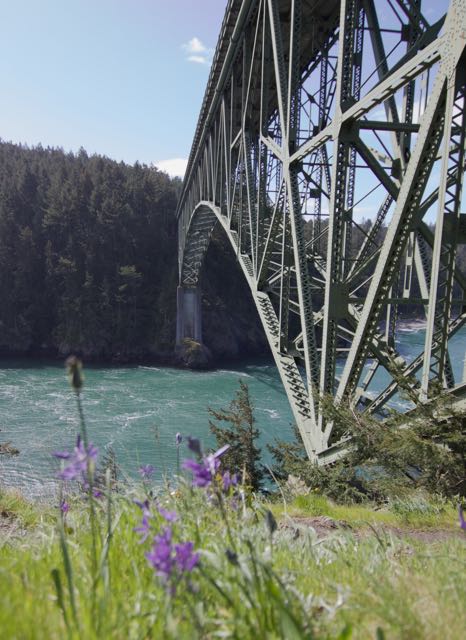
Whenever we have guests from out of town and I’m looking for a day trip, this is one of my favorites.  We start by driving up to Deception Pass and walk out over the bridge to Pass Island.

View from about mid-span.

The current through the narrow channel can reach 8 knots at peak flow. I’ve been kayaking near there before but never through the pass itself.  This time there was a series of standing waves west of the bridge and high winds, which made crossing a white-knuckle experience.  I was afraid to look through the viewfinder, so this picture was taking by just pointing the camera in a direction and hoping it caught something good.

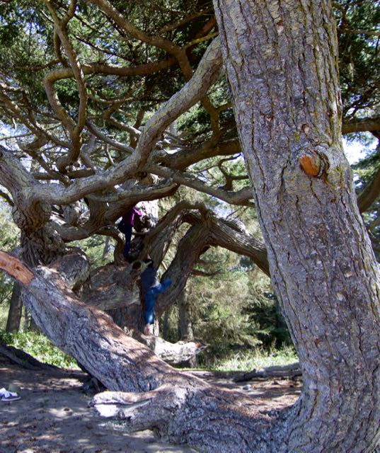
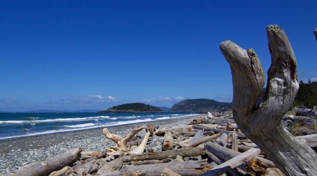
From the bridge we headed downhill into the park for a walk along the beach and a look at the ancient (800+ year old) douglas fir.  We’ve heard this called the “Monkey Tree” but I have no idea where that name comes from (we did fill it with our own little monkeys).

Then it was on to the hike itself.

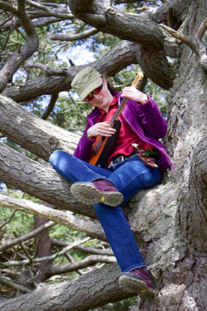
A different wind-contorted tree with ukulele player

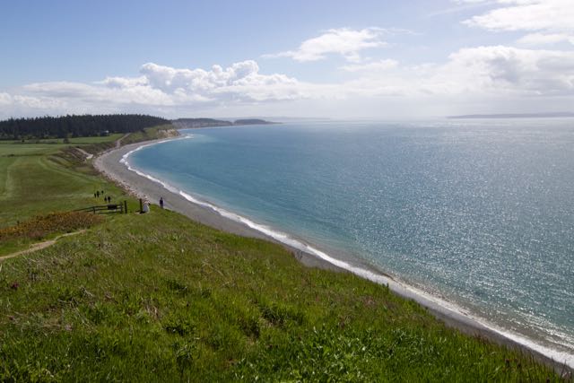
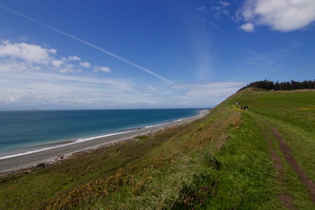
Ebey’s Landing

Looking up the bluff

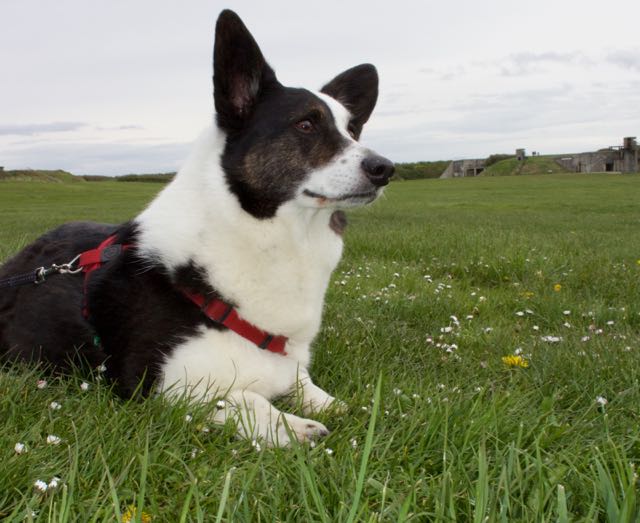
Then our final stop was Fort Casey where we flew kites and let the kids run around in the tunnels. For some reason I always forget to take photos at Fort Casey, but here’s my dog looking alert in front of the old battery.

From there we headed south to the ferry for a short hop back to the mainland.

The only thing that would make this trip better is if it could be done in reverse so you wound up by Snow Goose Produce for gigantic ice cream cones on the way home.

Posted on 1 Comment

More snow photos

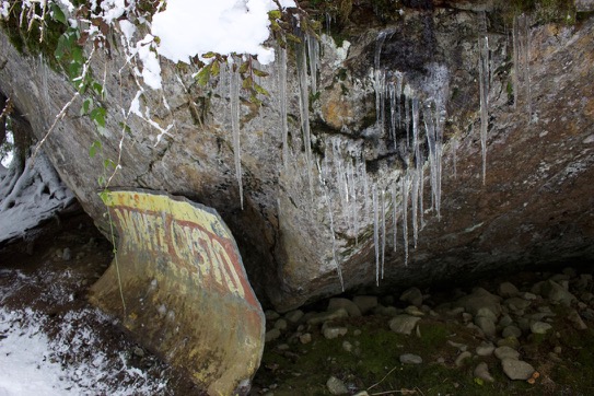
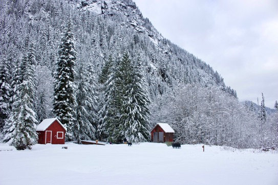
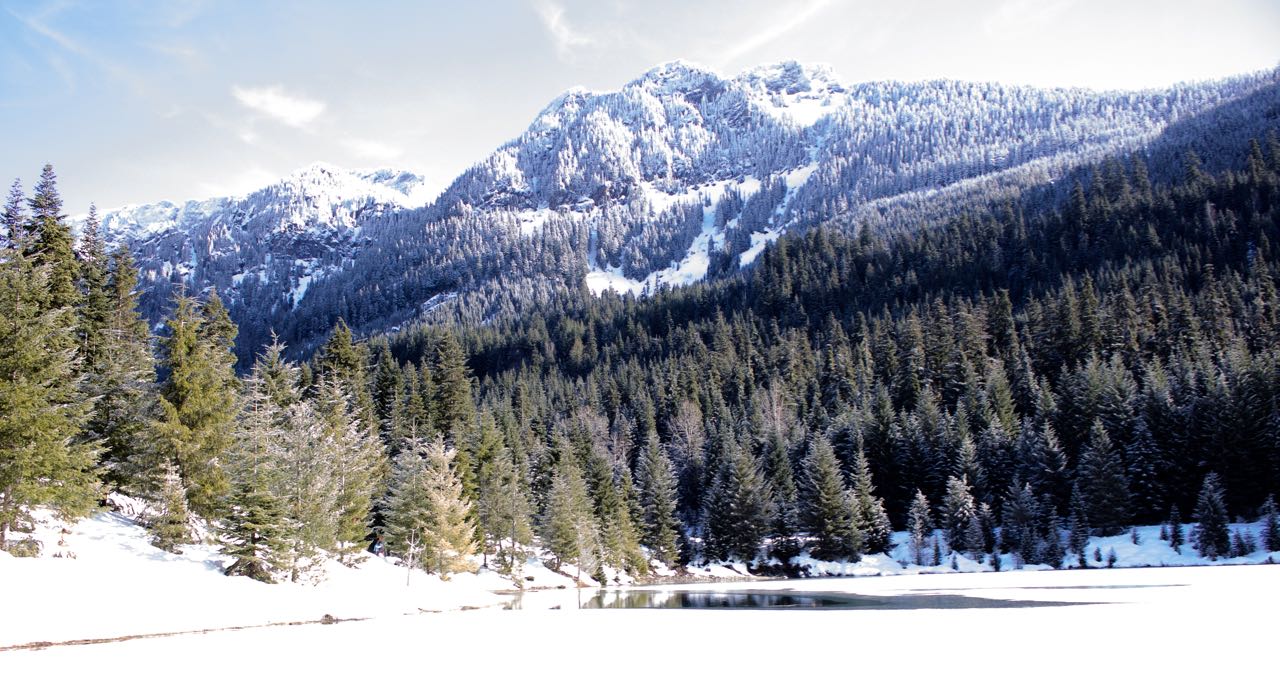
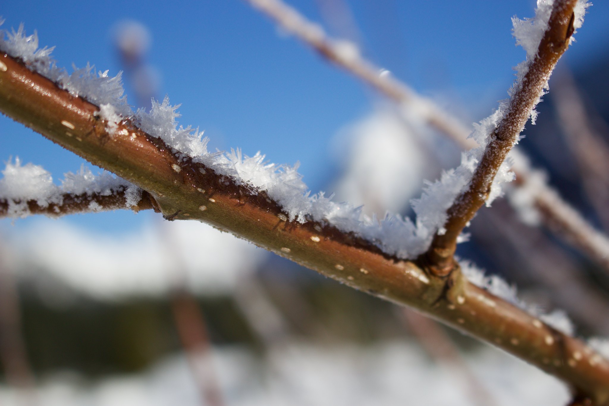
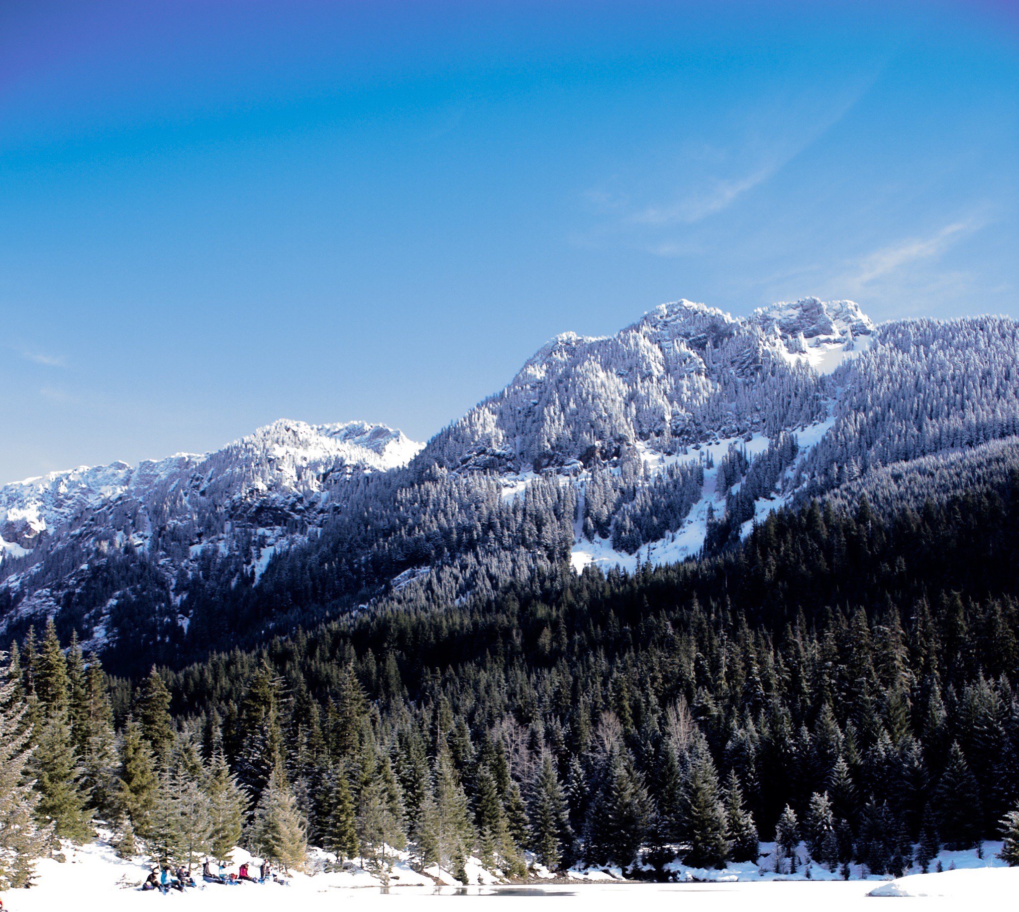
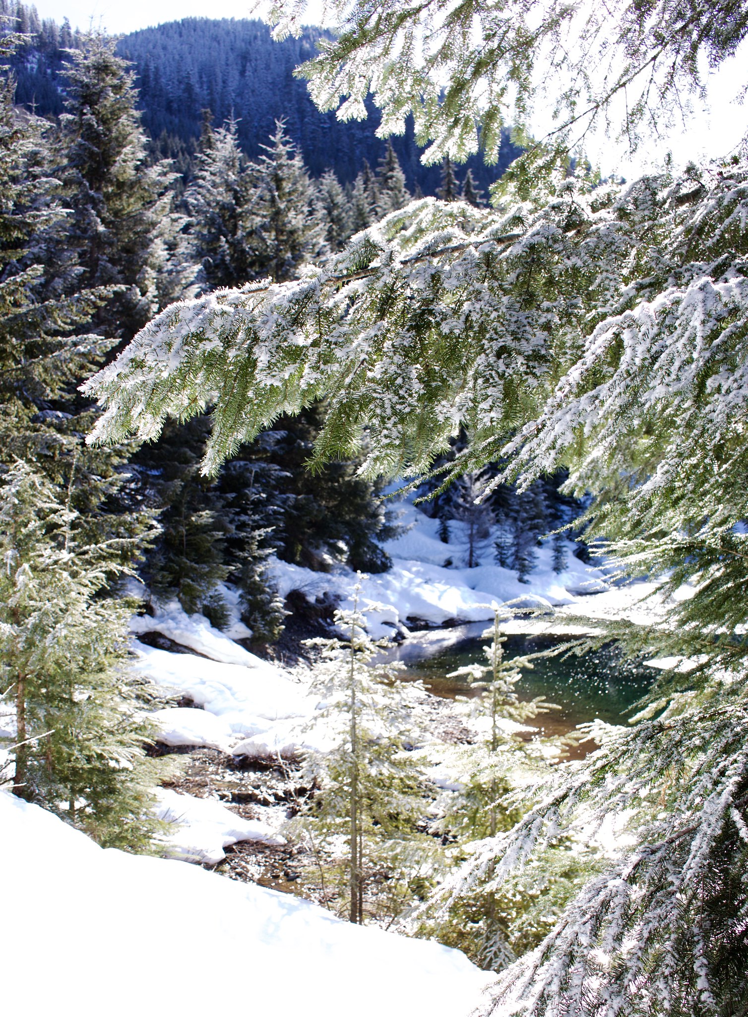
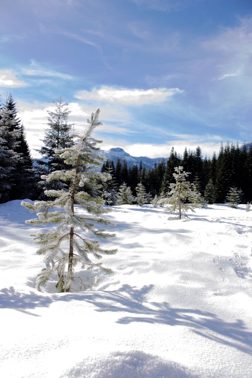
These are the rest of the images from our hike that I think are not-bad.  They at least capture the setting well.

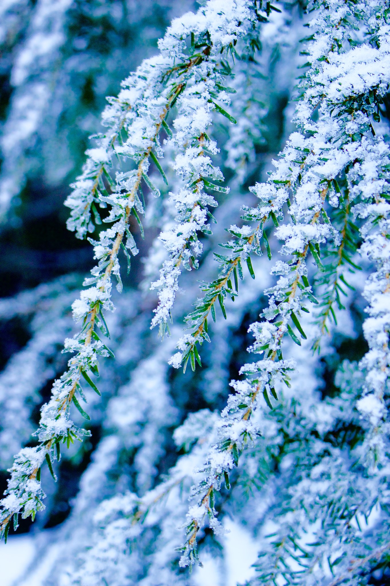
Frost

Looking across the Pond

I had high hopes for this one but the depth is just not there.

If the light isn’t good, the photo isn’t going to be that great.

#28-31/365

Posted on 2 Comments

Gold Creek Trail

We hiked almost 4 miles today on Gold Creek Trail in Snoqualmie Pass.

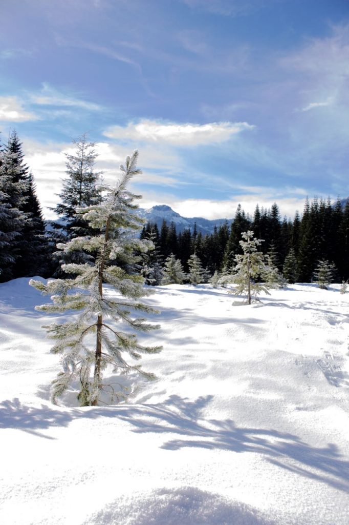
My photos today were near misses.  I really need to pay more attention to my settings and actually look at the photos in the camera before I just presume that it’s OK.  And I need to zoom in to look at more details.  This one is my favorite and it’s because I love the color and swirls that came out in the sky.