Nickel Creek to Summerland, Aug 16
This was going to be a big day and one that I’d had some concerns about. We needed to travel over 11 miles and had at least 4000 feet of elevation gain, which put it at the top of the range of any day hike I’d ever done before. It would also take us to the highest elevation on the entire trip, about 7000 feet. On the other hand, some of my concerns were because I’d been initially misreading the map and thought we had more than 5000 feet of gain and I’d been steeling myself for that. When I realized the error and that it was ‘only’ 4000 feet I felt much more optimistic about it.
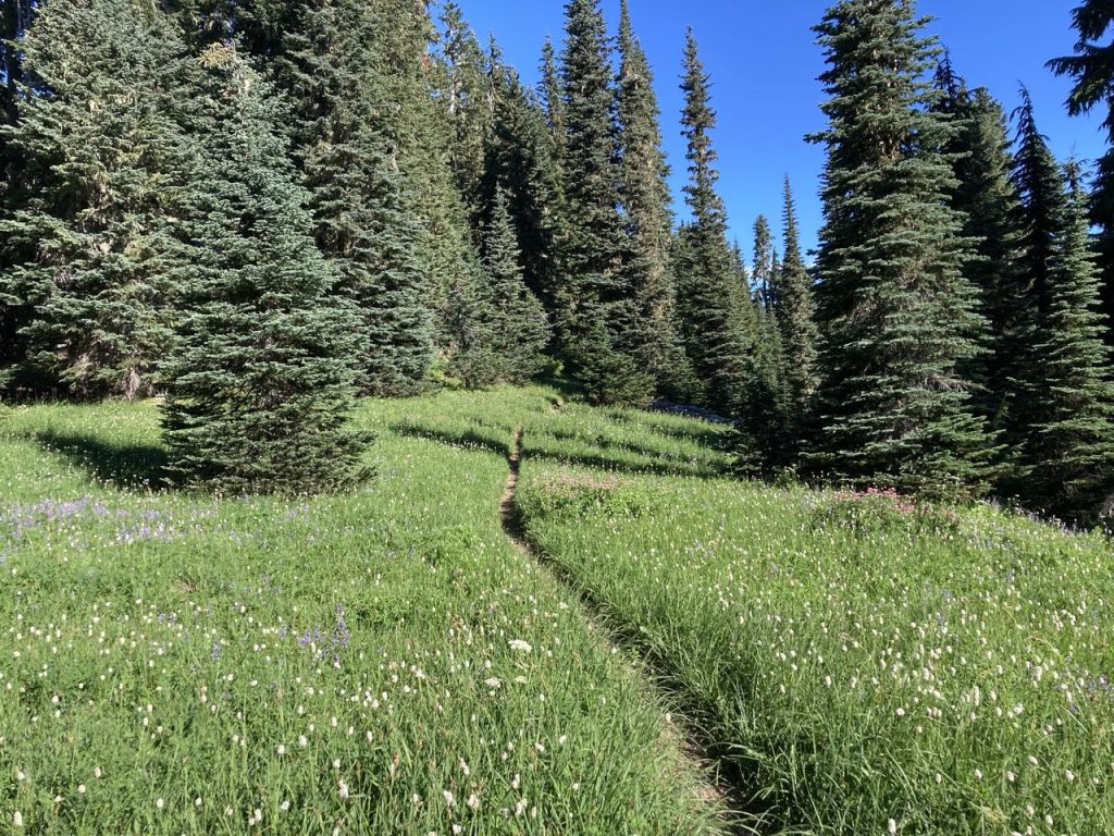
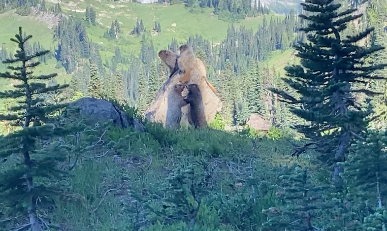
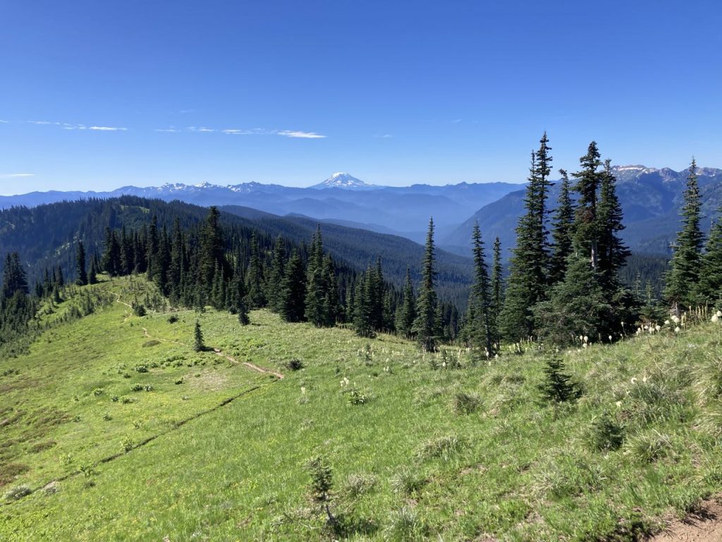
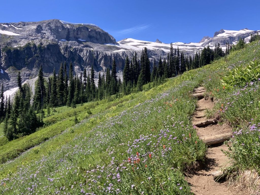
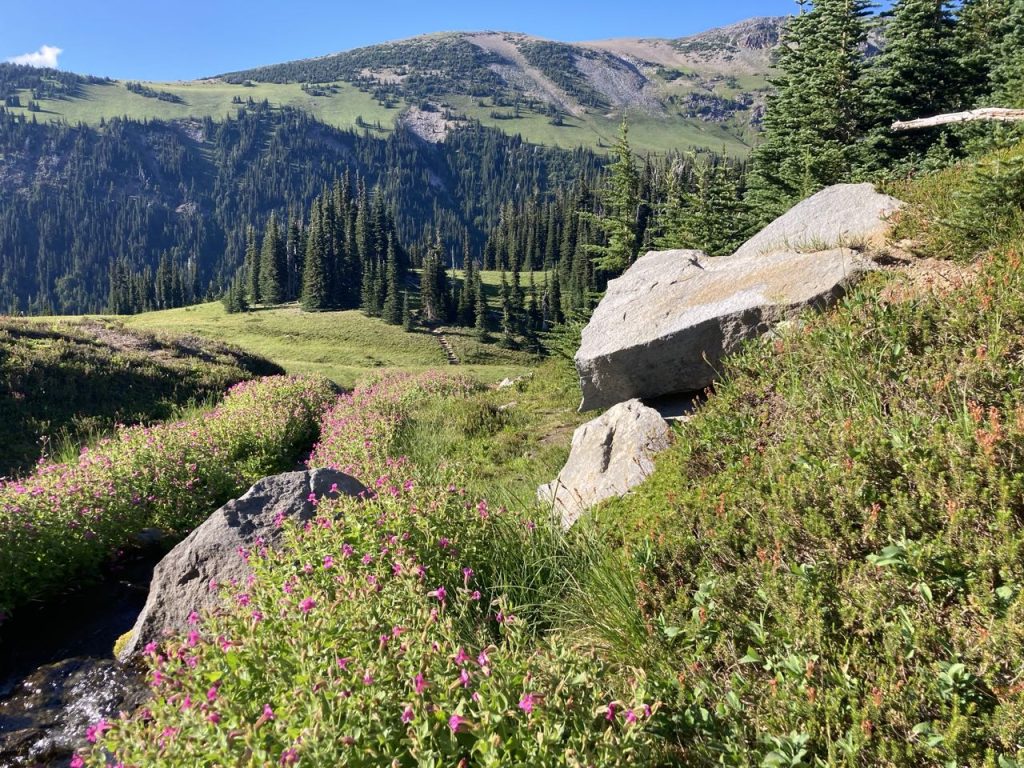
Uphill, out of Nickel Creek and it wasn’t long before the trees started to thin out and we reached a ridge where we had some views of the area. We also passed a family of marmots who were almost completely unconcerned about our passing by. Mom and dad sat on a rock while two kids played. There was still a lot of beargrass in bloom, amazing views everywhere, and we began our descent to Indian Bar.
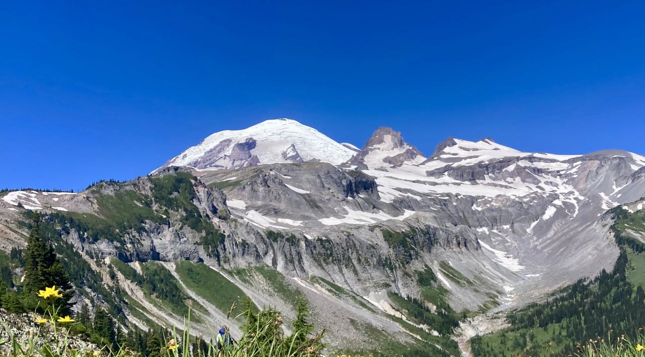
Indian Bar and Summerland are the two most popular campsites on the entire trail, and they fell last on our hike because placing them that far out was the only way we could complete the circuit when I went to get the permit. I can see why they are so popular. The downhill to the camp was a nice respite.
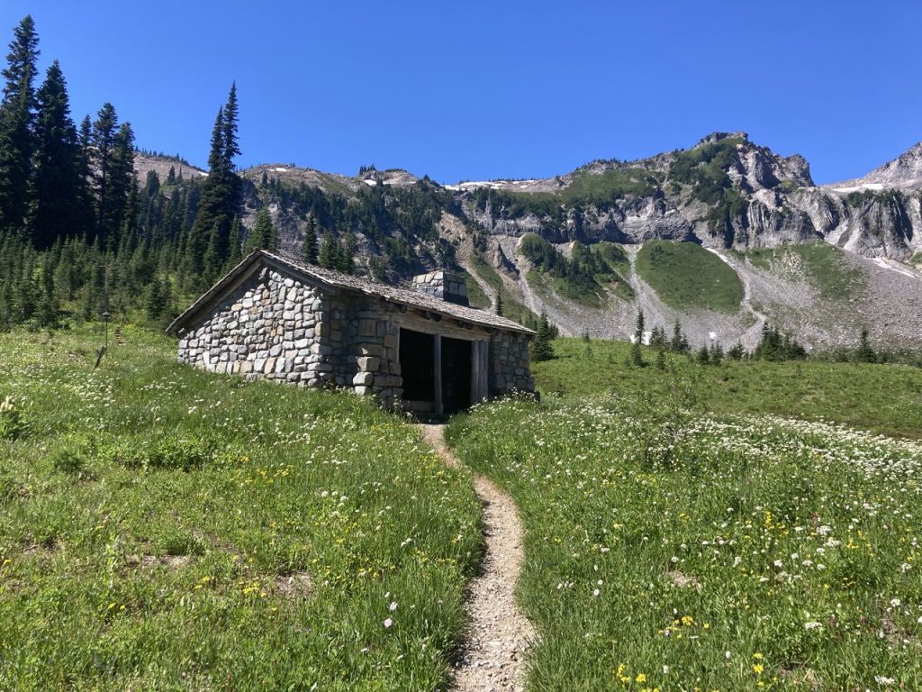
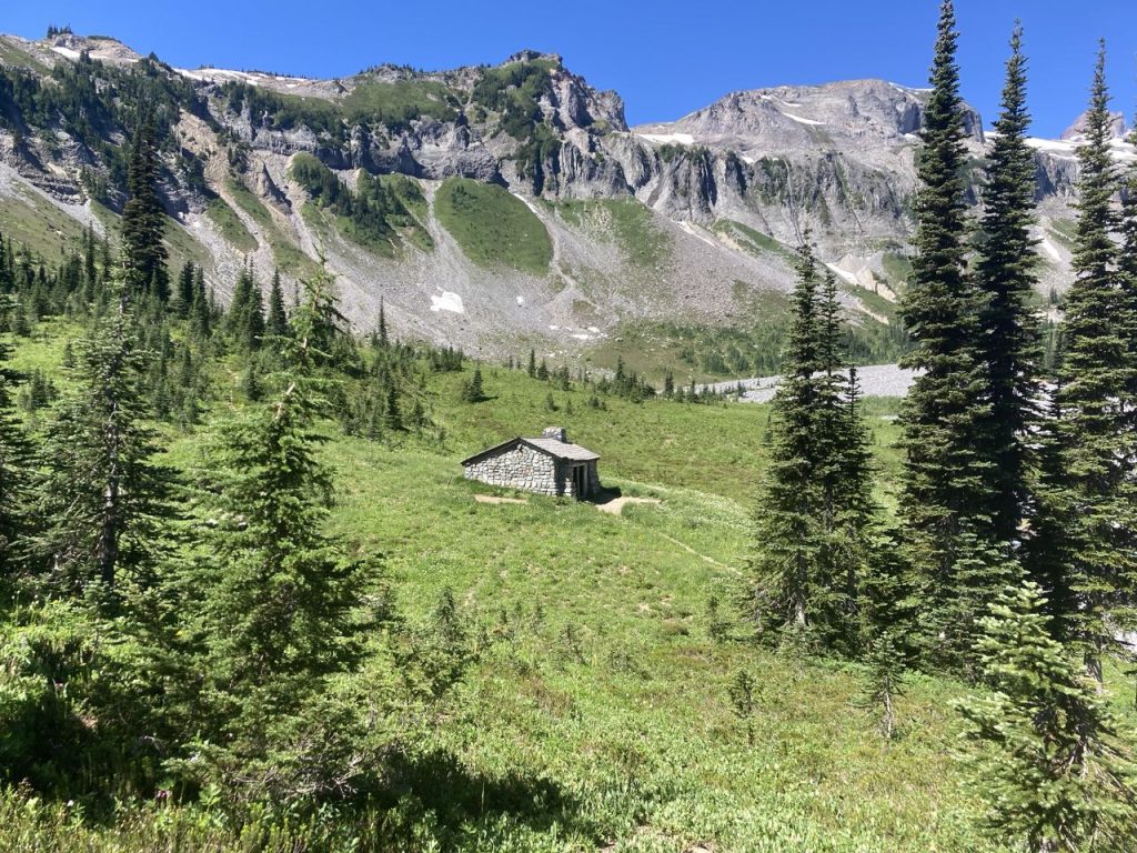
We had lunch at the little creek below the cabin. The downside of having that bit of downhill was that now we had to go back UP, and the climb out of Indian Bar was long, steep, and exposed. K & I suggested to the two younger members of the group (younger than me by 15 and 30 years) that maybe they should go ahead at their own pace to get to Summerland before us and try to grab one of the better campsites. I handed over the permit and they started out.
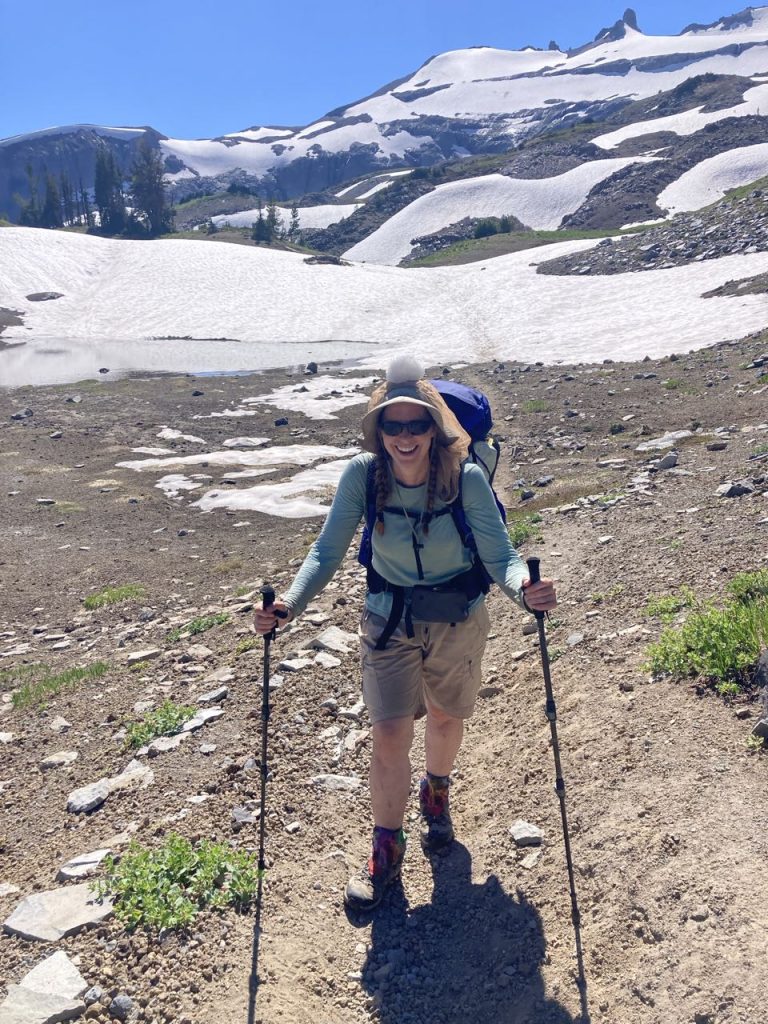
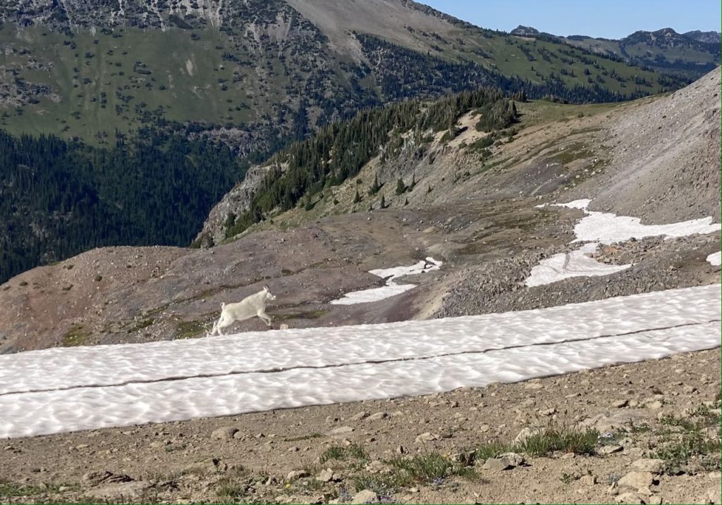
The climb was hot and we decided to go as slowly as we wanted and to take many breaks. We eventually got up into some snowfields to cross which gave us the opportunity to cool off. Kim made a snowball and started to carry it with her so I dubbed it the ‘snow baby’. Looking out at all the open grass below us, I started to talk about how we hadn’t seen any mountain goats on the trip and I was somewhat disappointed. I’d seen some at a distance on a day hike to Burroughs and thought we would encounter more. While talking, and scanning the fields far below I finally saw a little white speck of ‘snow’ that I realized was moving. We watched for a while and confirmed that there was, indeed, a single goat visible far, far away. But there was no point in trying to take a photo. It didn’t look like anything. I promised to work on my goat-summoning magical powers, and we hiked on.
Now and then we’d catch a glimpse of hikers ahead of us which we presumed were S & R, but we weren’t able to confirm that until we reached Summerland and could talk to them.
But my goat summoning paid off! Just before we reached Panhandle Gap, the highest point, I looked to my left and there was a goat RIGHT THERE walking almost parallel to us. We were in a very open area so he had to have been following alongside for quite a while before we noticed him. Once spotted, and once it became apparent that our paths were slowly converging, he ran to get ahead of us.
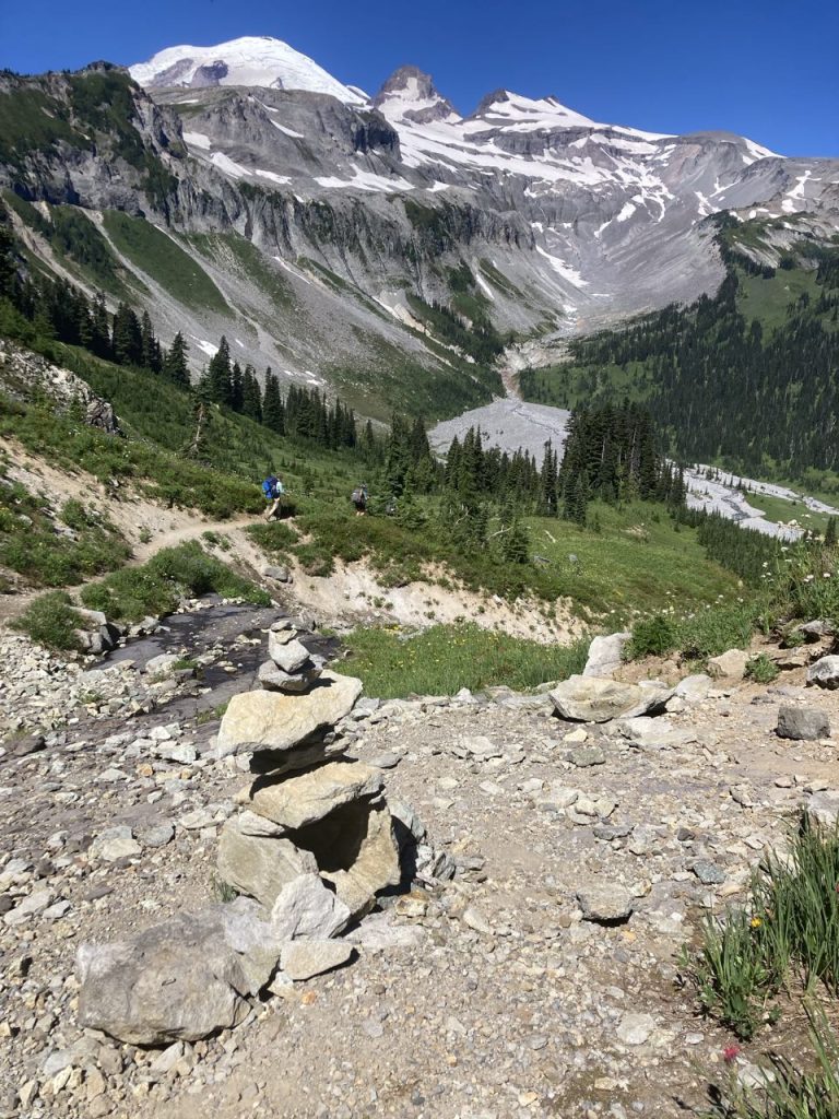
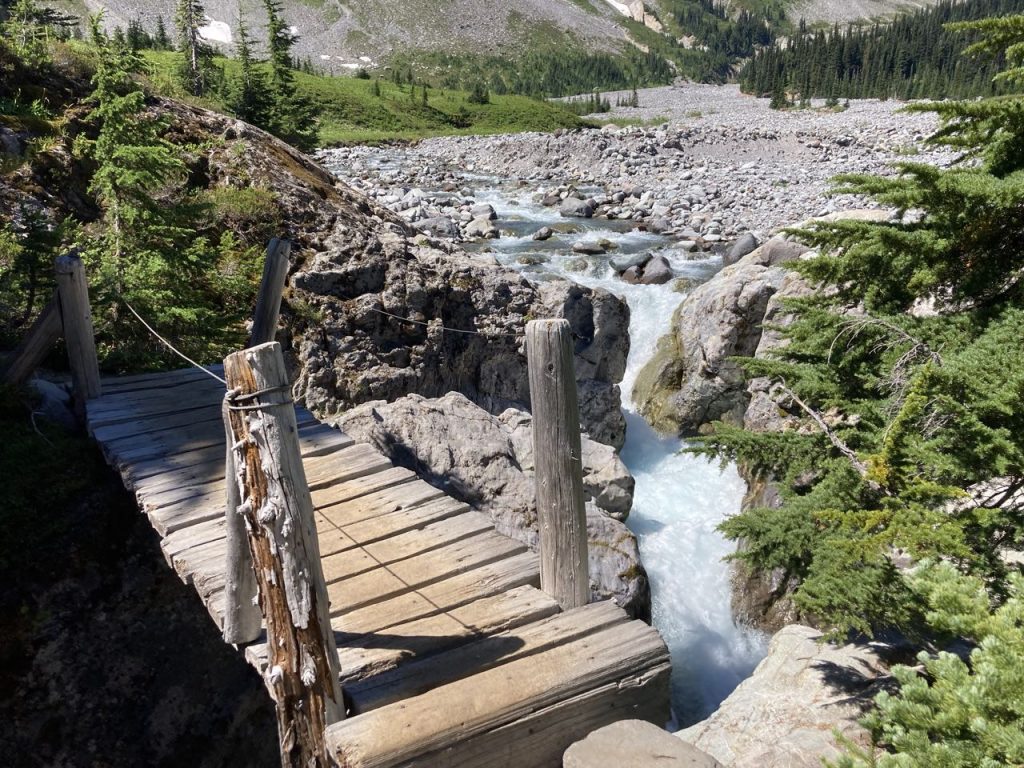
He decided to run to get ahead of us just as we reached the gap. We stopped here for a break and to survey our options. We knew there was a hazardous ‘snow bridge’ here and one look at it told us we weren’t going to take that path (photo below). This is the main path, but the snow that lingered on it had melted out below so to stay on the path you had to walk on a bridge of snow of unknown thickness while everything underneath it had melted out. It looked very easy to either slip off of it or punch through unexpectedly.
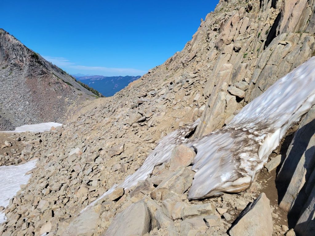
Instead of risking that we opted to scramble down the talus slope to the left. This was slow going, and I heard later, S’s least favorite part of the trail. I thought she’d love it because it reminded me of jumping around on the boulders at the Carbon River, but apparently, during her descent, she rested her weight on a very large boulder and it MOVED. And that made her very untrusting of everything around her.
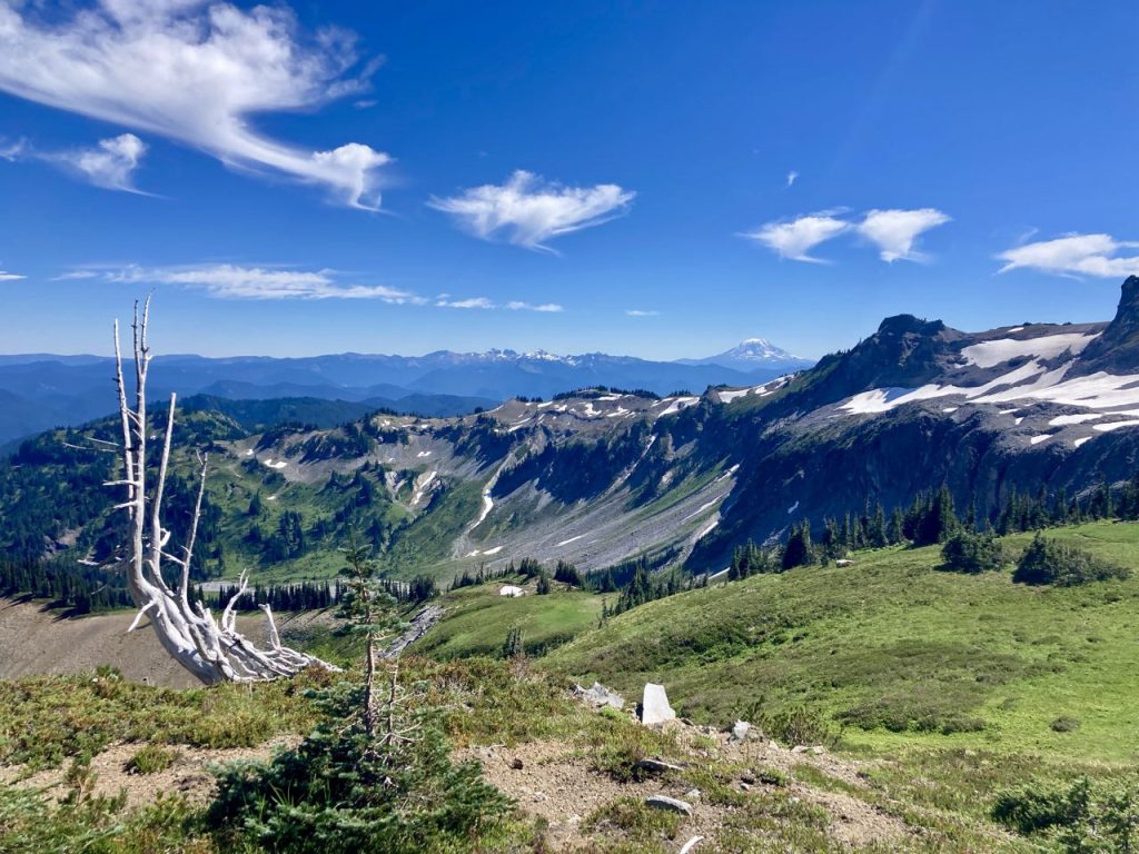
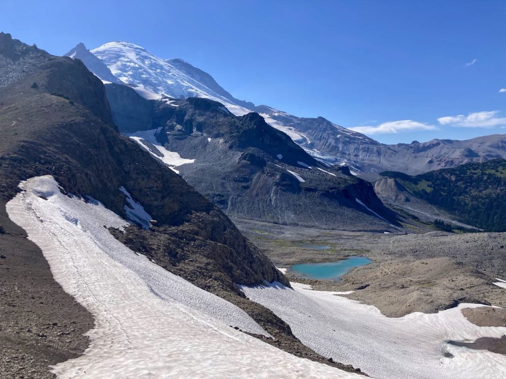
This part of the landscape looked like the surface of the moon to me, and made me a little sad because I imagine it used to mostly be glacier, but now we could see Summerland below us. We had one more dubious crossing – it was only a creek, but there was no bridge and the rock-hopping prospects were not great. K finally decided to go for it and jumped onto some big rocks. I considered it, then chickened out and instead put on my sandals and waded across at a spot where I could see the bottom.
S & R had a great spot for us. It was a little far from the toilet, but also far from other campsites for privacy and close to a nice view. We had our supper near a marmot friend and they told us about the slight incident. Apparently when they got there and started setting up camp, another hiker kept aggressively asking, multiple times, if they were going to stay *there* and if they had a permit. (They were and they did). From the tone of it, I think this hiker might have thought that both S & R were teenagers off on a lark. In reality: S is a Jr in college and R is a PROFESSOR.
This was our last full day so I did my best to eat as much food as possible so I wouldn’t have to carry it. We planned to get up early the next morning to watch the sunrise and we were expecting K’s sister to hike in to meet us.
")


